Urbex & Abandoned
Mønsted Limestone Mine
Stoholm Jyll, Denmark
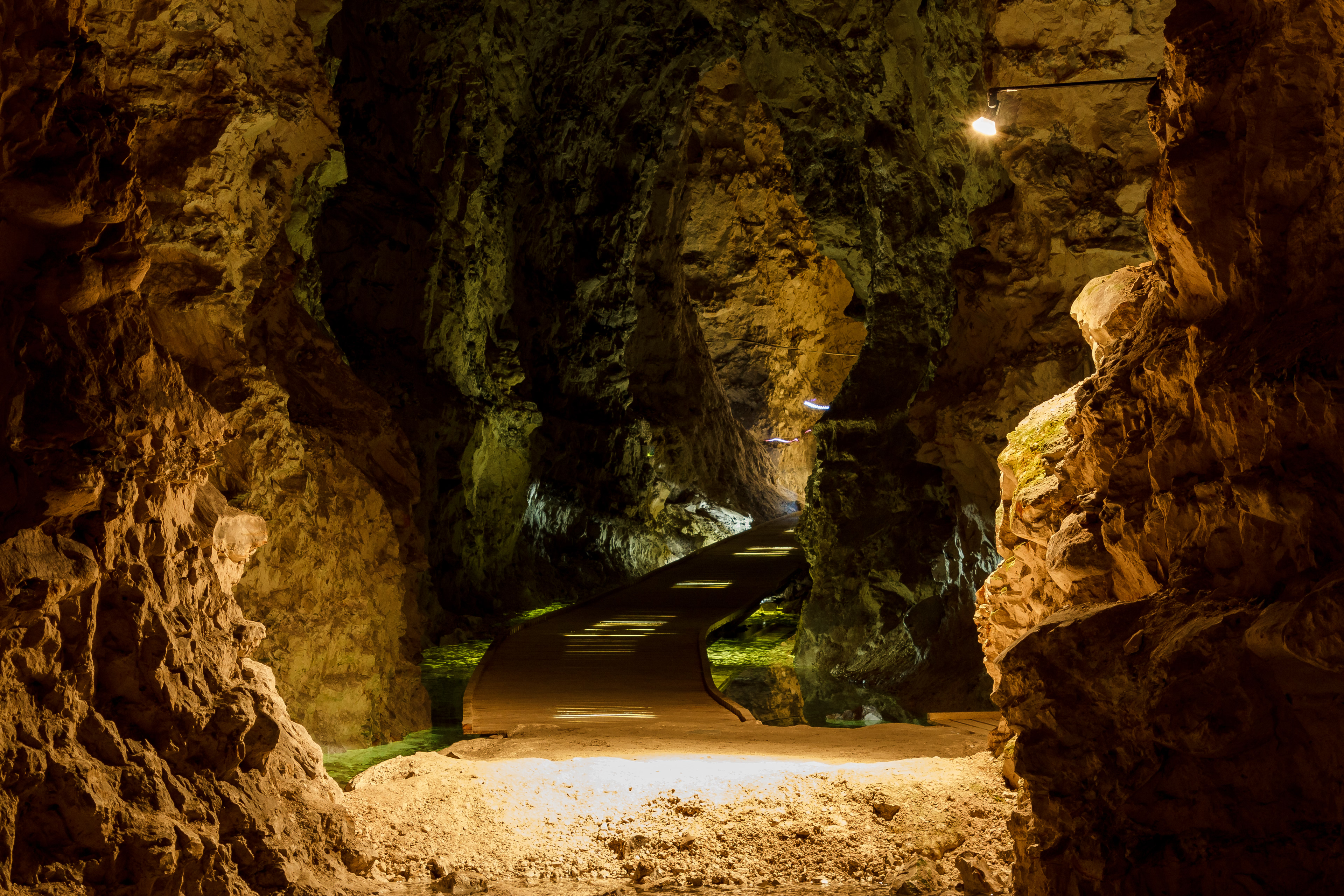
Die ehemaligen Mønsted-Kalkgruben (dänisch Kalkgruber) liegen in Jütland, zirka 14 km westlich von Viborg, in Dänemark. Es sind die größten zusammenhängenden, von Menschen angelegten Kalkhöhlen der Welt. Das unterirdische System umfasst Gänge von insgesamt etwa 60 km Länge, die in bis zu sechs Etagen übereinander liegen.
- Category
- Urbex & Abandoned
- Location
- Stoholm Jyll, Denmark
- Address
- Kalkværksvej 8, Stoholm Jyll
- Coordinates
- 56.45611, 9.16639
- How to get there
- Google MapsApple MapsOpenStreetMap
- Wikidata
- Q1299695
What is Mønsted Limestone Mine?
Mønsted Limestone Mine is a Urbex & Abandoned place on VeroMaps, on Kalkværksvej 8. Other places close by: Daugbjerg Kalkgruber, Gule vandtårn, Bruunshaab Gamle Papfabrik, Spøttrup Borg.
Where is Mønsted Limestone Mine?
Mønsted Limestone Mine is in Stoholm Jyll, Denmark. Coordinates: 56.45611, 9.16639.
How do I get to Mønsted Limestone Mine?
Mønsted Limestone Mine is at Kalkværksvej 8, Stoholm Jyll, Denmark (56.45611, 9.16639). Enter these coordinates in Google Maps, Apple Maps or OpenStreetMap for walking, cycling or driving directions.