Night Life
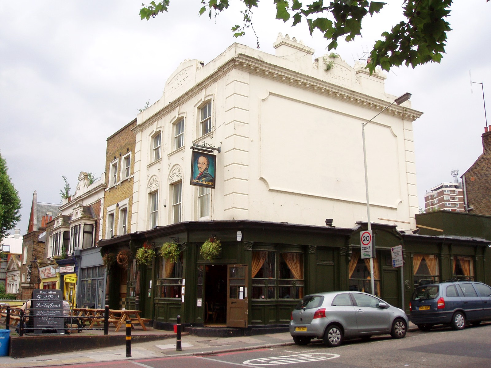
The Royal Albert Public House
London, United Kingdom
The Royal Albert is a Grade II listed pub located at 460 New Cross Road, on the border of the New Cross and Deptford areas of the London Borough of Lewisham in south-east London.
- Category
- Night Life
- Location
- London, United Kingdom
- Address
- 460 New Cross Road, London
- Coordinates
- 51.47524, -0.02928
- How to get there
- Google MapsApple MapsOpenStreetMap
- Wikidata
- Q26354066
What is The Royal Albert Public House?
The Royal Albert Public House is a Night Life place on VeroMaps, on 460 New Cross Road. Other places close by: The Amersham Arms, Spanish Galleon, Statue of William IV, Palace of Placentia.
Where is The Royal Albert Public House?
The Royal Albert Public House is in London, United Kingdom. Coordinates: 51.47524, -0.02928.
How do I get to The Royal Albert Public House?
The Royal Albert Public House is at 460 New Cross Road, London, United Kingdom (51.47524, -0.02928). Enter these coordinates in Google Maps, Apple Maps or OpenStreetMap for walking, cycling or driving directions.