Photo corners
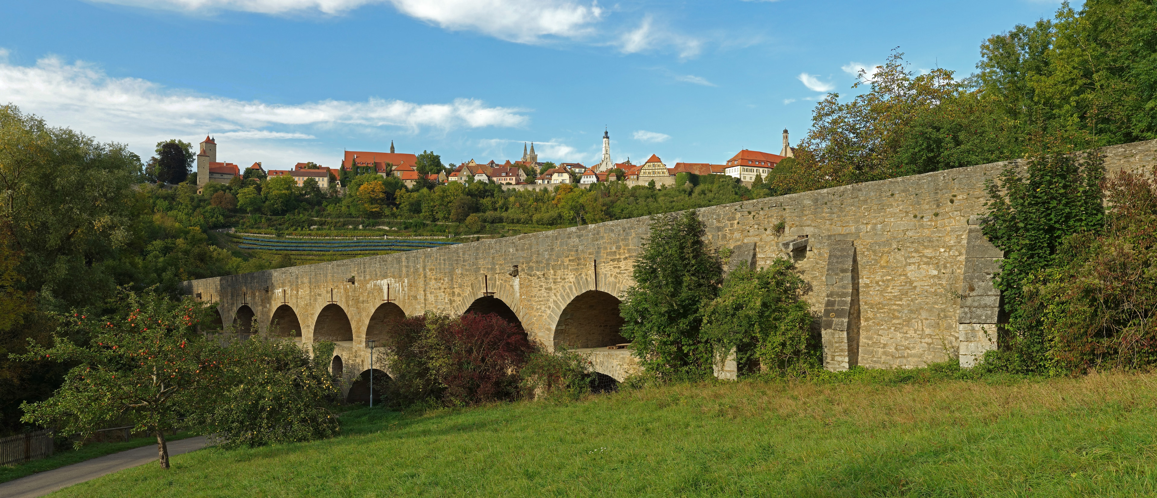
Tauber Bridge, Rothenburg ob der Tauber
Weinsteige, Germany
The Tauber Bridge at Rothenburg ob der Tauber is an historic road bridge that spans the Tauber Valley west of the town centre of the Middle Franconian town of Rothenburg ob der Tauber in Bavaria. The structure carries a local link road to Leuzenbronn and the Tauber Valley Way and has a 4.0 metre wide roadway and a 1.0 metre wide footpath.
- Category
- Photo Spots
- Location
- Weinsteige, Germany
- Address
- Eselssteige, Weinsteige
- Coordinates
- 49.37270, 10.17640
- How to get there
- Google MapsApple MapsOpenStreetMap
- Wikidata
- Q2396584
What is Tauber Bridge, Rothenburg ob der Tauber?
Tauber Bridge, Rothenburg ob der Tauber is a Photo Spots place on VeroMaps, on Eselssteige. Other places close by: Franciscan Abbey, Rothenburg ob der Tauber, Burg Seldeneck, Cultural heritage D-5-6527-0245 in Windelsbach, Gipsbruch Endsee.
Where is Tauber Bridge, Rothenburg ob der Tauber?
Tauber Bridge, Rothenburg ob der Tauber is in Weinsteige, Germany. Coordinates: 49.37270, 10.17640.
How do I get to Tauber Bridge, Rothenburg ob der Tauber?
Tauber Bridge, Rothenburg ob der Tauber is at Eselssteige, Weinsteige, Germany (49.37270, 10.17640). Enter these coordinates in Google Maps, Apple Maps or OpenStreetMap for walking, cycling or driving directions.