Photo corners
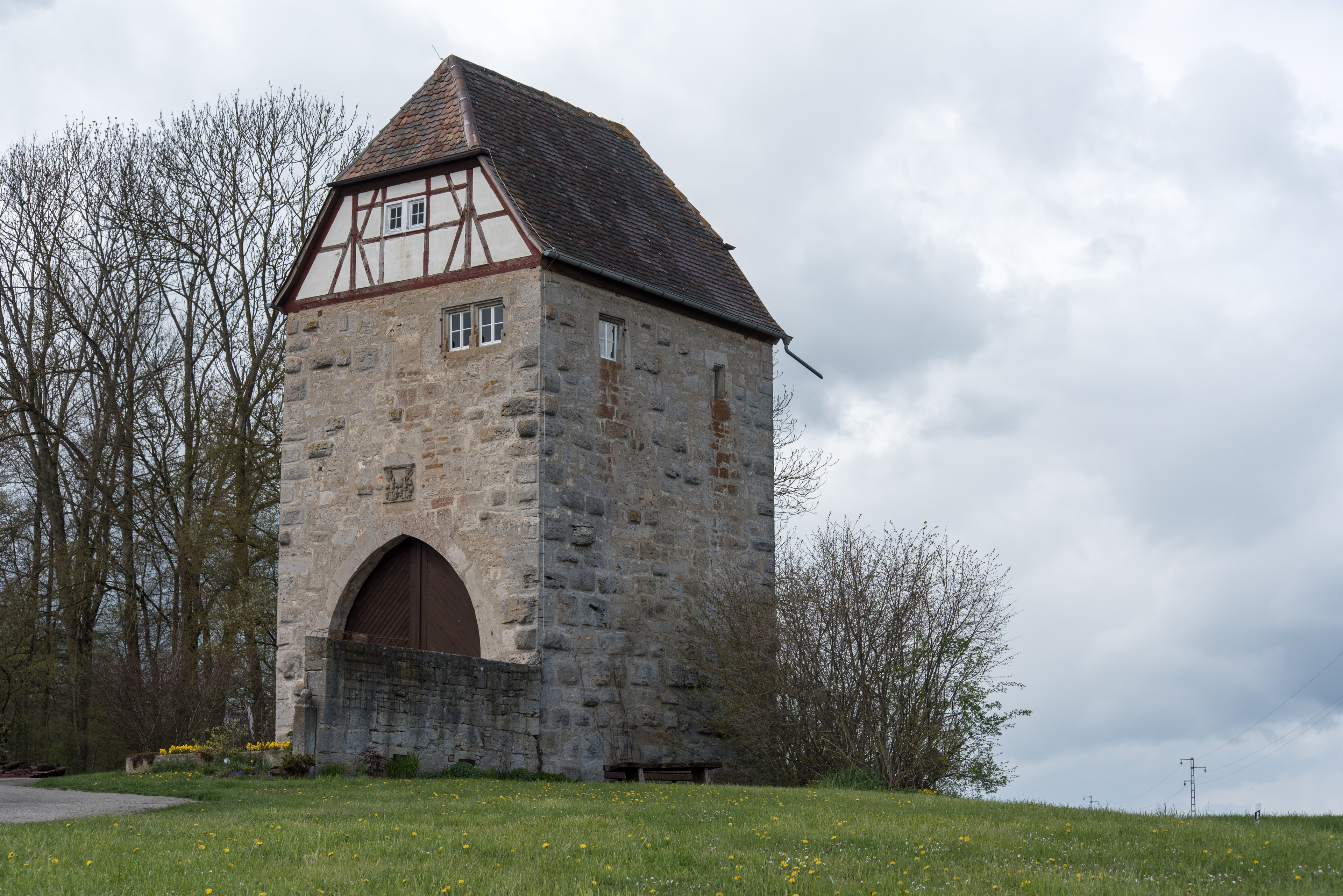
Lichteler Landturm
Creglingen, Germany
Der Lichteler Landturm ist ein ehemaliger Zugangsturm der Rothenburger Landhege. Er steht beim gleichnamigen Wohnplatz Landturm auf einer Anhöhe an der Landstraße von Lichtel nach Rinderfeld in der Nähe von Creglingen im Nordosten Baden-Württembergs.
- Category
- Photo Spots
- Location
- Creglingen, Germany
- Coordinates
- 49.41200, 10.02950
- How to get there
- Google MapsApple MapsOpenStreetMap
- Wikidata
- Q1624319
What is Lichteler Landturm?
Lichteler Landturm is a Photo Spots place on VeroMaps. Other places close by: Sender Creglingen, Schloss Haltenbergstetten, Burg Seldeneck, Burg Brauneck.
Where is Lichteler Landturm?
Lichteler Landturm is in Creglingen, Germany. Coordinates: 49.41200, 10.02950.
How do I get to Lichteler Landturm?
Lichteler Landturm is at Creglingen, Germany (49.41200, 10.02950). Enter these coordinates in Google Maps, Apple Maps or OpenStreetMap for walking, cycling or driving directions.