Urbex & Abandoned
Tassu
Cristinacce, France
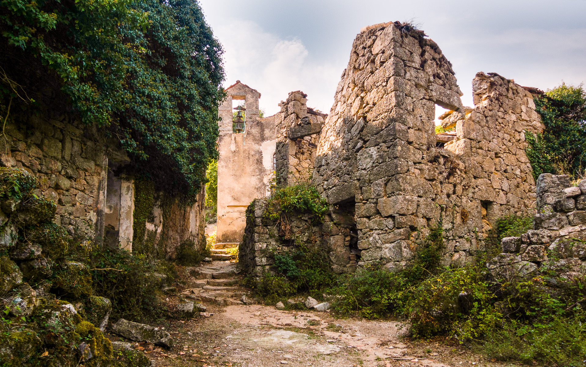
Tassu ou U Tassu est un village abandonné situé dans le département français de la Corse-du-Sud. Il est situé entre Cristinacce et Marignana. Un recensement établi en 1537 fait état d'une population de 95 habitants. Le dernier habitant est mort en 1935.
- Category
- Urbex & Abandoned
- Location
- Cristinacce, France
- Coordinates
- 42.23722, 8.81750
- How to get there
- Google MapsApple MapsOpenStreetMap
- Wikidata
- Q109045536
What is Tassu?
Tassu is a Urbex & Abandoned place on VeroMaps. Other places close by: Mines of l'Argentella, Chapelle Santa-Maria-d'Arca, Statue of Sampiero Corso, Église San Raineru de Lunghignano.
Where is Tassu?
Tassu is in Cristinacce, France. Coordinates: 42.23722, 8.81750.
How do I get to Tassu?
Tassu is at Cristinacce, France (42.23722, 8.81750). Enter these coordinates in Google Maps, Apple Maps or OpenStreetMap for walking, cycling or driving directions.