Photo corners
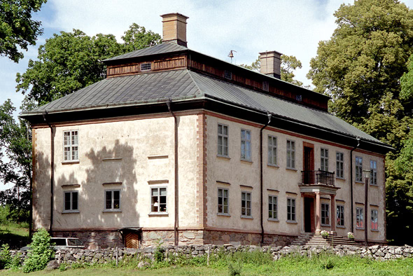
Stola herrgård
Lidköping Municipality, Sweden
Das Herrenhaus Stola liegt auf der Halbinsel Kålland etwa 13 Kilometer nördlich der schwedischen Stadt Lidköping. Das Gut Stola lässt sich auf das 12. Jahrhundert zurückführen. Während der Reformation, zur Zeit Gustav Wasas war es von Anders Ekeblad bewohnt, in dessen Geschlecht es viele Generationen hindurch blieb.
- Category
- Photo Spots
- Location
- Lidköping Municipality, Sweden
- Coordinates
- 58.59471, 13.08424
- How to get there
- Google MapsApple MapsOpenStreetMap
- Wikidata
- Q1614092
What is Stola herrgård?
Stola herrgård is a Photo Spots place on VeroMaps. Other places close by: Skalunda hög, Läckö Castle, Hindens rev, Hönsäter.
Where is Stola herrgård?
Stola herrgård is in Lidköping Municipality, Sweden. Coordinates: 58.59471, 13.08424.
How do I get to Stola herrgård?
Stola herrgård is at Lidköping Municipality, Sweden (58.59471, 13.08424). Enter these coordinates in Google Maps, Apple Maps or OpenStreetMap for walking, cycling or driving directions.