Photo corners
Rånna-Ryd
Skövde Municipality, Sweden
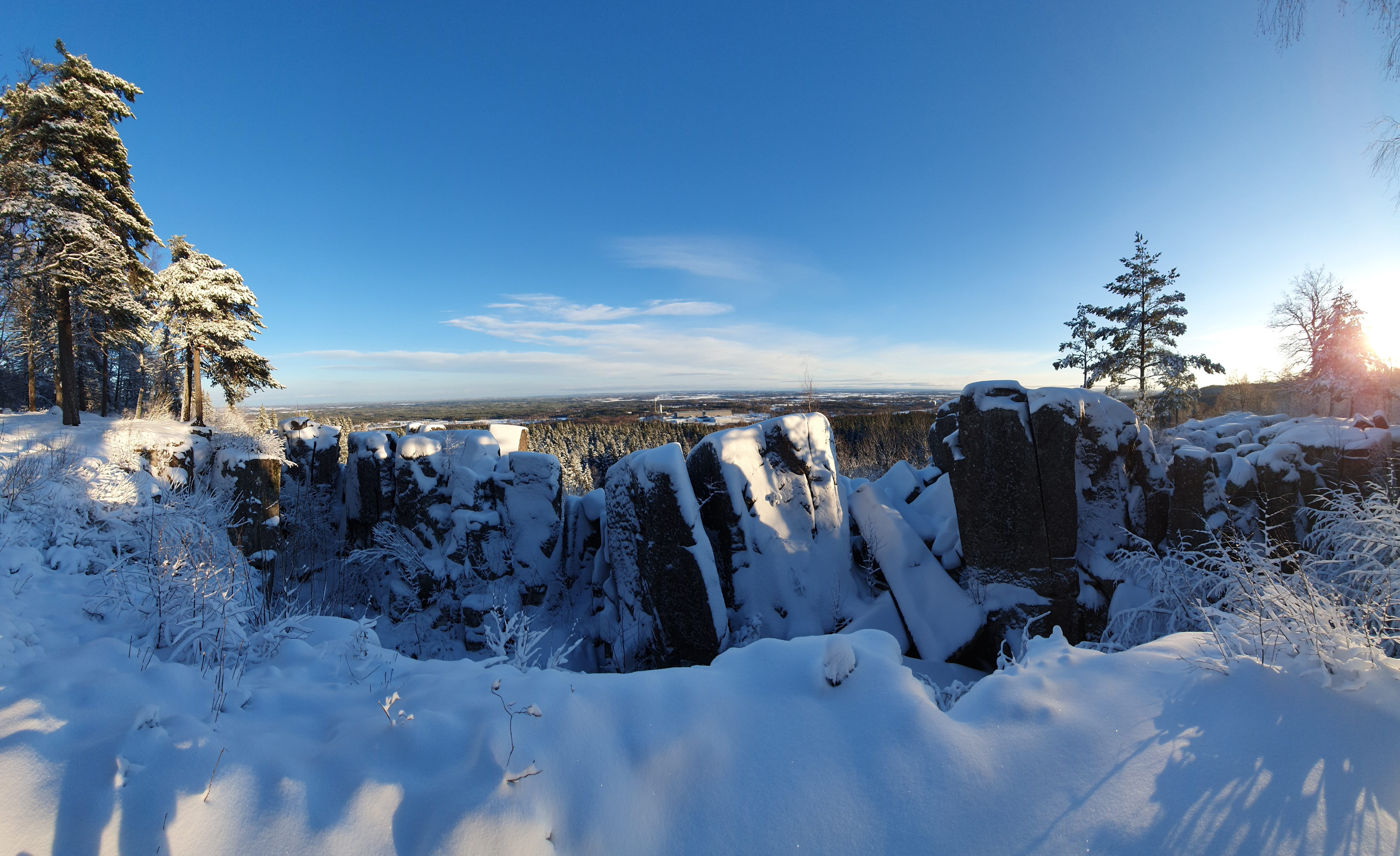
Ryds ängar ist ein Naturschutzgebiet in der schwedischen Gemeinde Skövde und Teil des europäischen Netzwerkes Natura 2000. Ryds ängar erstreckt sich auf einer Fläche von 172,6 Hektar vom Stadtrand der Stadt Skövde etwa fünf Kilometer entlang des Osthanges des Tafelbergs Billingen nach Norden.
- Category
- Photo Spots
- Location
- Skövde Municipality, Sweden
- Coordinates
- 58.44466, 13.82764
- How to get there
- Google MapsApple MapsOpenStreetMap
- Wikidata
- Q2178195
What is Rånna-Ryd?
Rånna-Ryd is a Photo Spots place on VeroMaps. Other places close by: Varnhem Abbey, Klagstorps herrgård, Kung Ranes hög, Övertorps kalkbruk.
Where is Rånna-Ryd?
Rånna-Ryd is in Skövde Municipality, Sweden. Coordinates: 58.44466, 13.82764.
How do I get to Rånna-Ryd?
Rånna-Ryd is at Skövde Municipality, Sweden (58.44466, 13.82764). Enter these coordinates in Google Maps, Apple Maps or OpenStreetMap for walking, cycling or driving directions.