Urbex & Abandoned
Slapton Castle
Stokenham, United Kingdom
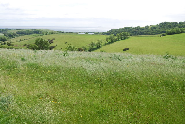
Slapton Castle is an Iron Age hill fort situated close to Slapton in Devon, England. The fort is on a promontory on the eastern side of a hilltop at approximately 65 metres (213 ft) above sea level, overlooking Slapton Ley.
- Category
- Urbex & Abandoned
- Location
- Stokenham, United Kingdom
- Coordinates
- 50.28710, -3.67419
- How to get there
- Google MapsApple MapsOpenStreetMap
- Wikidata
- Q7538758
What is Slapton Castle?
Slapton Castle is a Urbex & Abandoned place on VeroMaps. Other places close by: Start Point Lighthouse, Bayard's Cove Fort, Dartmouth Castle, Kingswear Castle.
Where is Slapton Castle?
Slapton Castle is in Stokenham, United Kingdom. Coordinates: 50.28710, -3.67419.
How do I get to Slapton Castle?
Slapton Castle is at Stokenham, United Kingdom (50.28710, -3.67419). Enter these coordinates in Google Maps, Apple Maps or OpenStreetMap for walking, cycling or driving directions.