Urbex & Abandoned
Eylesbarrow Mine
Dartmoor Forest, United Kingdom
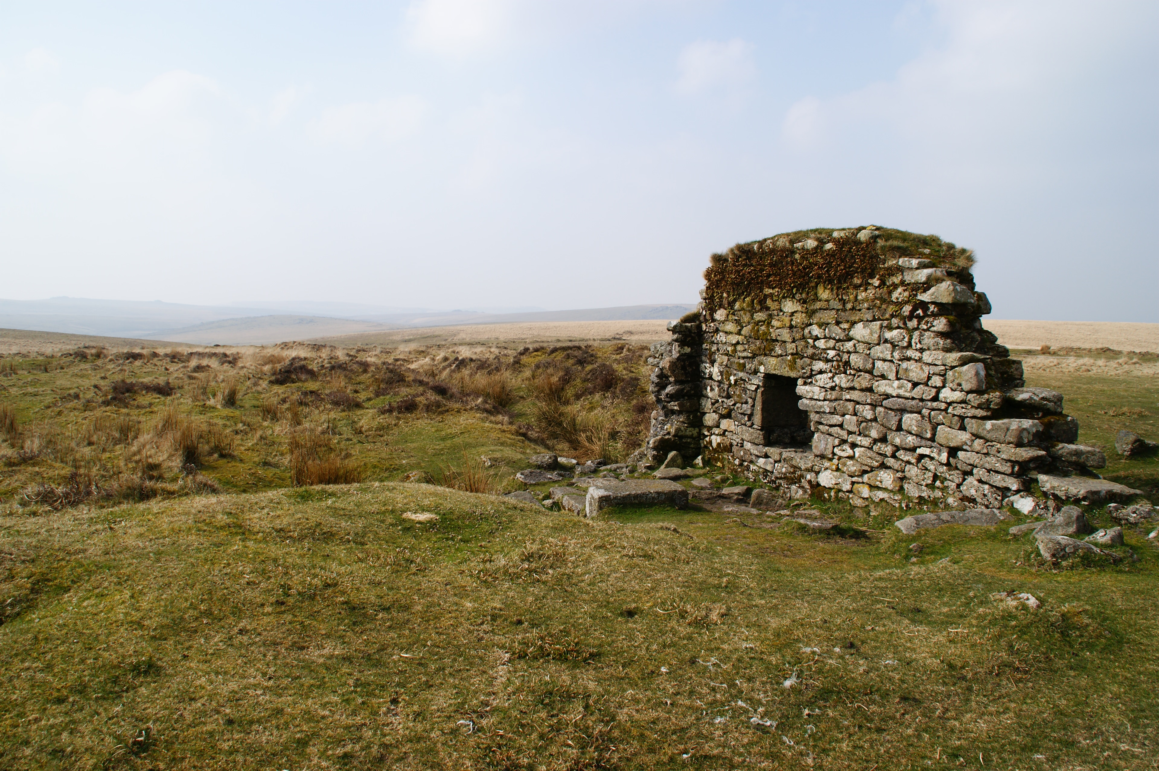
Eylesbarrow mine was a tin mine on Dartmoor, Devon, England that was active during the first half of the 19th century. In its early years it was one of the largest and most prosperous of the Dartmoor tin mines, along with Whiteworks and the Birch Tor and Vitifer mines. Its name has several variant spellings, such as Eylesburrow, Ailsborough, Ellisborough, Hillsborough etc. It was also known as Wheal Ruth for a short period around 1850. The extensive remains lie to the north of the River Plym, less than 1 mile (1.6 km) north-east of Drizzlecombe, on the southern shoulder of the hill called Eylesbarrow on top of which are two prominent Bronze Age barrows.
- Category
- Urbex & Abandoned
- Location
- Dartmoor Forest, United Kingdom
- Coordinates
- 50.49580, -3.97978
- How to get there
- Google MapsApple MapsOpenStreetMap
- Wikidata
- Q5422916
What is Eylesbarrow Mine?
Eylesbarrow Mine is a Urbex & Abandoned place on VeroMaps. Other places close by: Hemerdon Mine, Buckland Abbey, Beardown Man standing stone, Boringdon Hall.
Where is Eylesbarrow Mine?
Eylesbarrow Mine is in Dartmoor Forest, United Kingdom. Coordinates: 50.49580, -3.97978.
How do I get to Eylesbarrow Mine?
Eylesbarrow Mine is at Dartmoor Forest, United Kingdom (50.49580, -3.97978). Enter these coordinates in Google Maps, Apple Maps or OpenStreetMap for walking, cycling or driving directions.