Photo corners
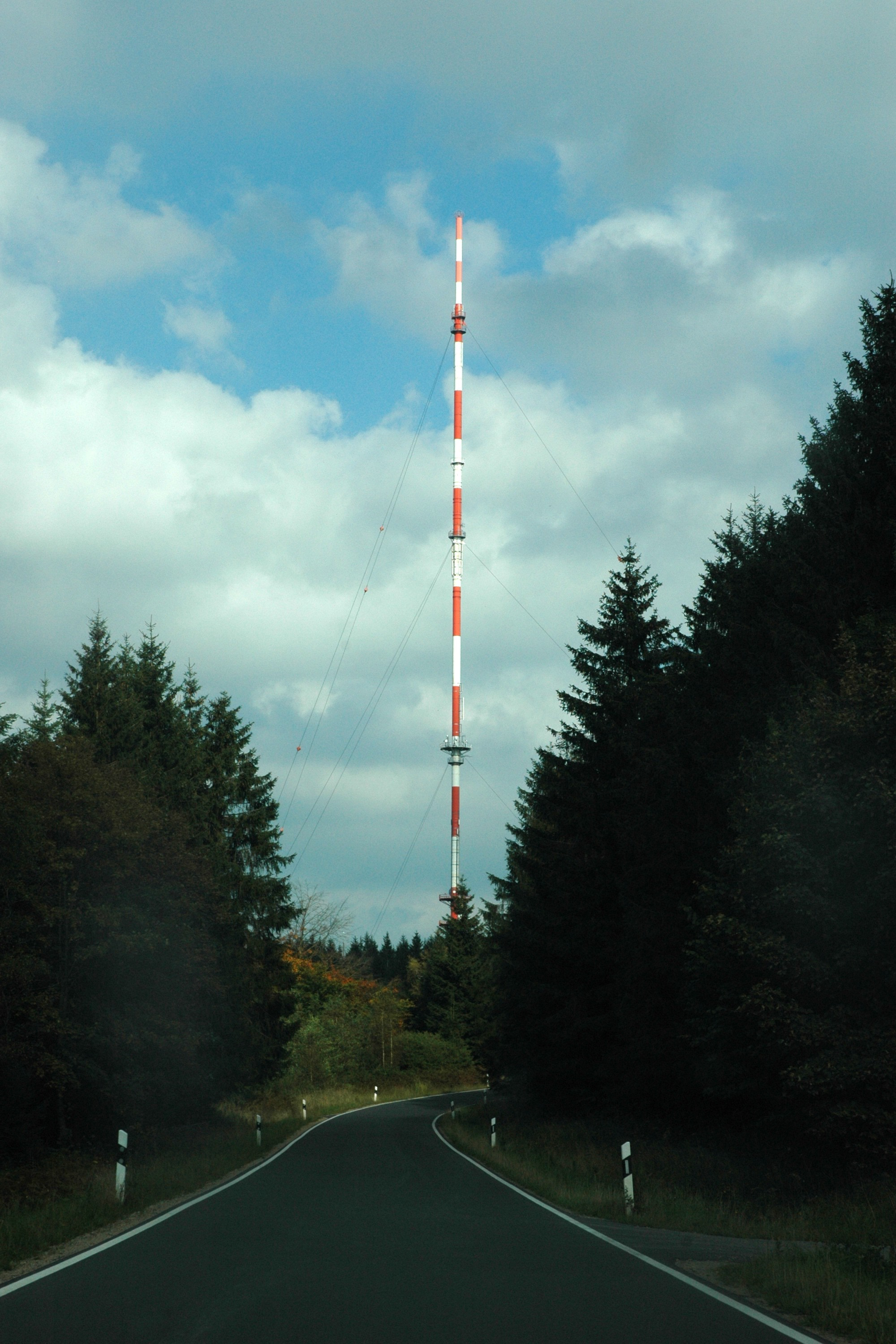
Schnee-Eifel transmitter
Rhineland-Palatinate, Germany
Der Sender Schnee-Eifel ist eine 1965 errichtete Sendeanlage der Deutschen Funkturm für UKW und DAB+ auf dem Schwarzen Mann bei Bleialf in der gleichnamigen Landschaft Schnee-Eifel. Sie steht 690 m ü. NHN und verwendet als Antennenträger einen 105 Meter hohen, abgespannten Stahlrohrmasten.
- Category
- Photo Spots
- Location
- Rhineland-Palatinate, Germany
- Coordinates
- 50.25470, 6.35892
- How to get there
- Google MapsApple MapsOpenStreetMap
- Wikidata
- Q2800434
What is Schnee-Eifel transmitter?
Schnee-Eifel transmitter is a Photo Spots place on VeroMaps. Other places close by: Schönecken Castle, Barbarakapelle (Dahlem-Frauenkron), Chapel of Auel, Our Lady Chapel.
Where is Schnee-Eifel transmitter?
Schnee-Eifel transmitter is in Rhineland-Palatinate, Germany. Coordinates: 50.25470, 6.35892.
How do I get to Schnee-Eifel transmitter?
Schnee-Eifel transmitter is at Rhineland-Palatinate, Germany (50.25470, 6.35892). Enter these coordinates in Google Maps, Apple Maps or OpenStreetMap for walking, cycling or driving directions.