Photo corners
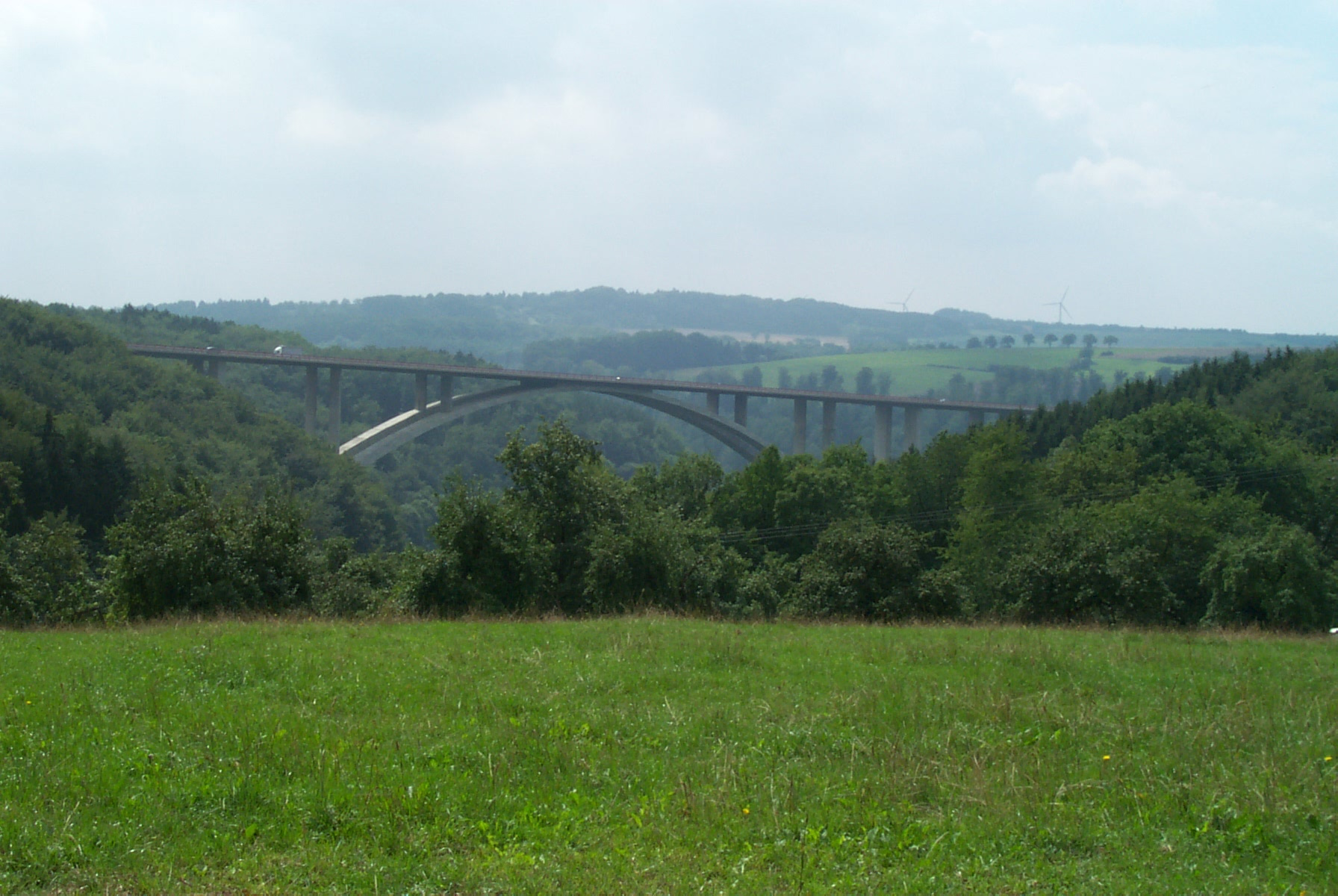
Kyll Viaduct
Rhineland-Palatinate, Germany
The Kyll Viaduct (German: Kylltalbrücke) has a span of 223 metres (732 ft) and is the largest arch bridge in Germany that is made entirely of reinforced concrete and prestressed concrete. The bridge carries the A 60 motorway over the valley of the Kyll in the Eifel mountains near Wilsecker between the junctions of Bitburg and Badem, and was built from 1995 to 1999. It has a total length of 645 metres and a maximum height of 93 metres.
- Category
- Photo Spots
- Location
- Rhineland-Palatinate, Germany
- Coordinates
- 50.01980, 6.57480
- How to get there
- Google MapsApple MapsOpenStreetMap
- Wikidata
- Q1795096
What is Kyll Viaduct?
Kyll Viaduct is a Photo Spots place on VeroMaps. Other places close by: Schloss Malberg, Dudeldorf Castle, Fernmeldeturm Bitburg, Wallesch-Kapelle im Dürrbachtal.
Where is Kyll Viaduct?
Kyll Viaduct is in Rhineland-Palatinate, Germany. Coordinates: 50.01980, 6.57480.
How do I get to Kyll Viaduct?
Kyll Viaduct is at Rhineland-Palatinate, Germany (50.01980, 6.57480). Enter these coordinates in Google Maps, Apple Maps or OpenStreetMap for walking, cycling or driving directions.