Photo corners
Sage Mountain National Park
Road Town, France
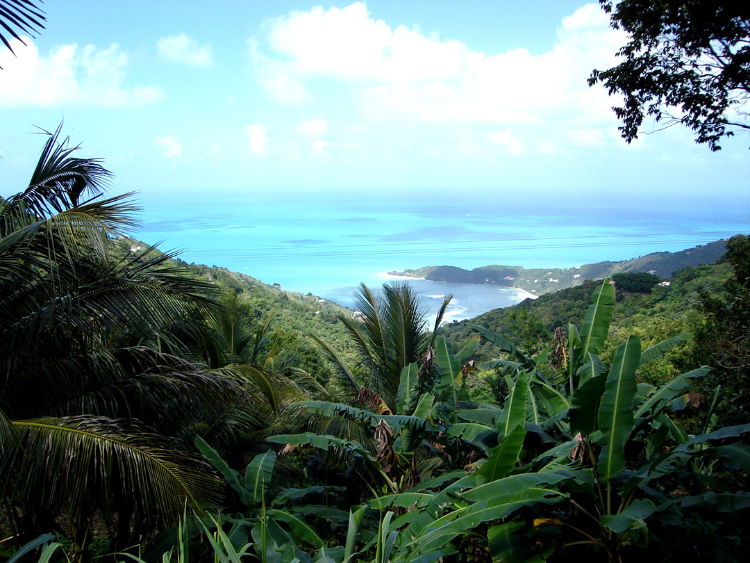
Sage Mountain National Park is a protected area of the British Virgin Islands. It is named after the highest peak of the island of Tortola, Mount Sage. The Mount Sage volcanic peak rises to a height of 1,716 feet (523 m), and is thus the highest point in all of the Virgin Islands.
- Category
- Photo Spots
- Location
- Road Town, France
- Coordinates
- 18.40000, -64.65000
- How to get there
- Google MapsApple MapsOpenStreetMap
- Wikidata
- Q54976435
What is Sage Mountain National Park?
Sage Mountain National Park is a Photo Spots place on VeroMaps. Other places close by: Lind Point Fort, Blackbeard's Castle, St. George Village Botanical Garden, Luis A. Ferré Performing Arts Center.
Where is Sage Mountain National Park?
Sage Mountain National Park is in Road Town, France. Coordinates: 18.40000, -64.65000.
How do I get to Sage Mountain National Park?
Sage Mountain National Park is at Road Town, France (18.40000, -64.65000). Enter these coordinates in Google Maps, Apple Maps or OpenStreetMap for walking, cycling or driving directions.