Photo corners
Blackbeard's Castle
United States Virgin Islands, United States
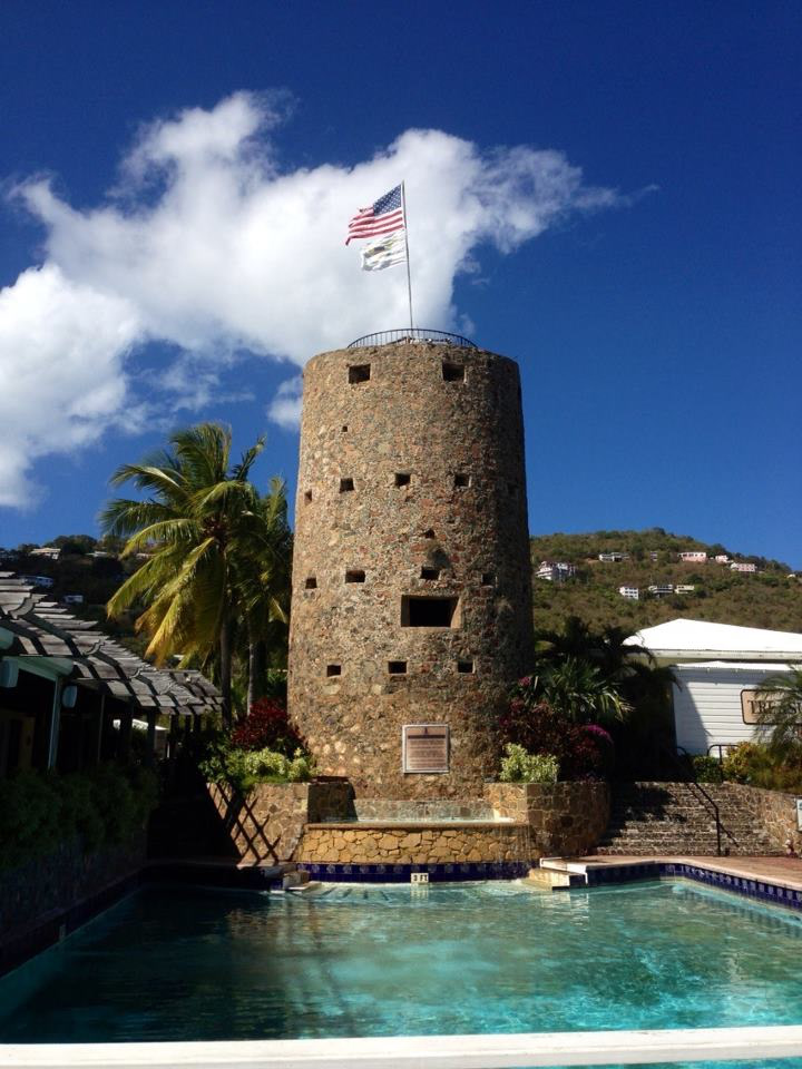
Blackbeard's Castle is one of five National Historic Landmarks in the U.S. Virgin Islands. It is located in the city of Charlotte Amalie, on the island of St. Thomas. Erected in 1679 by the Danes as a watchtower to protect the harbor as well as Fort Christian, Blackbeard's Castle was originally called Skytsborg (meaning protection castle). It is located at the highest point of Government Hill. Skytsborg served as a very effective vantage point for Danish soldiers to spot enemy ships. Fort Christian is at sea level, thus making it ideal for thwarting attackers with cannon fire; however, the fort itself did not provide an ideal view of incoming ships entering the harbor. It was the centerpiece of a private residence for many years, and was turned into a hotel, but is no longer open to the public.
- Category
- Photo Spots
- Location
- United States Virgin Islands, United States
- Coordinates
- 18.34384, -64.92959
- How to get there
- Google MapsApple MapsOpenStreetMap
- Wikidata
- Q2968446
What is Blackbeard's Castle?
Blackbeard's Castle is a Photo Spots place on VeroMaps. Other places close by: Lind Point Fort, Sage Mountain National Park, St. George Village Botanical Garden, Luis A. Ferré Performing Arts Center.
Where is Blackbeard's Castle?
Blackbeard's Castle is in United States Virgin Islands, United States. Coordinates: 18.34384, -64.92959.
How do I get to Blackbeard's Castle?
Blackbeard's Castle is at United States Virgin Islands, United States (18.34384, -64.92959). Enter these coordinates in Google Maps, Apple Maps or OpenStreetMap for walking, cycling or driving directions.