Forgotten History
Runder Berg
Bad Urach, Germany
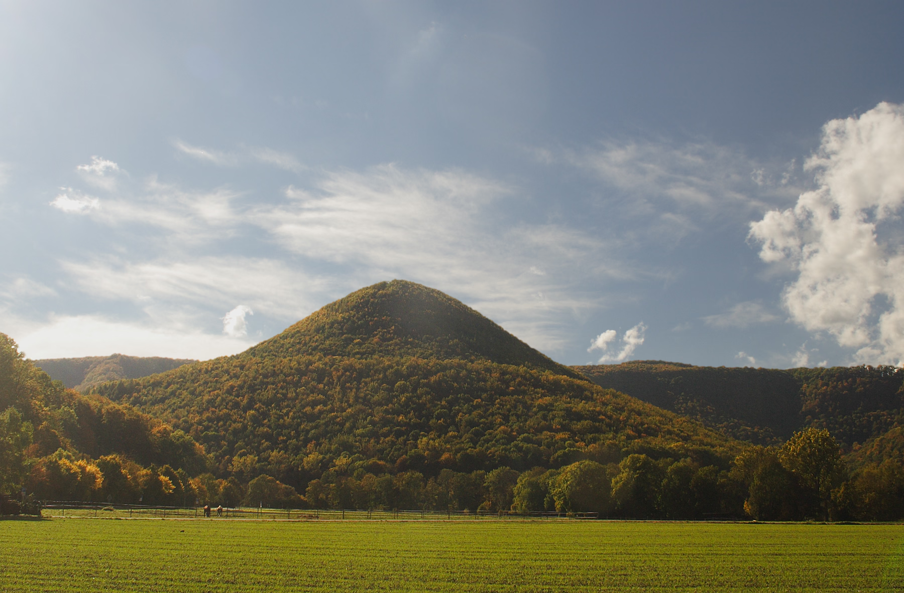
Runder Berg is a mountain in Baden-Württemberg, Germany. It is an oval hill (711 m above sea level) in the Swabian Alb and 250 meters above the valley. On a plateau about 0.45 hectares in size prehistoric and hilltop settlements have been found including the castle of a minor Alemanni king of the 4th and 5th centuries. Excavations were carried out on the entire mountain and on a terrace on a slope in 1967–1984.
- Category
- Forgotten History
- Location
- Bad Urach, Germany
- Coordinates
- 48.48972, 9.36500
- How to get there
- Google MapsApple MapsOpenStreetMap
- Wikidata
- Q787451
What is Runder Berg?
Runder Berg is a Forgotten History place on VeroMaps. Other places close by: Hohe Warte, Wassersteinhöhle, Burg Hohenwittlingen, Schillerhöhle.
Where is Runder Berg?
Runder Berg is in Bad Urach, Germany. Coordinates: 48.48972, 9.36500.
How do I get to Runder Berg?
Runder Berg is at Bad Urach, Germany (48.48972, 9.36500). Enter these coordinates in Google Maps, Apple Maps or OpenStreetMap for walking, cycling or driving directions.