Forgotten History
Burg Stahleck
Lichtenstein, Germany
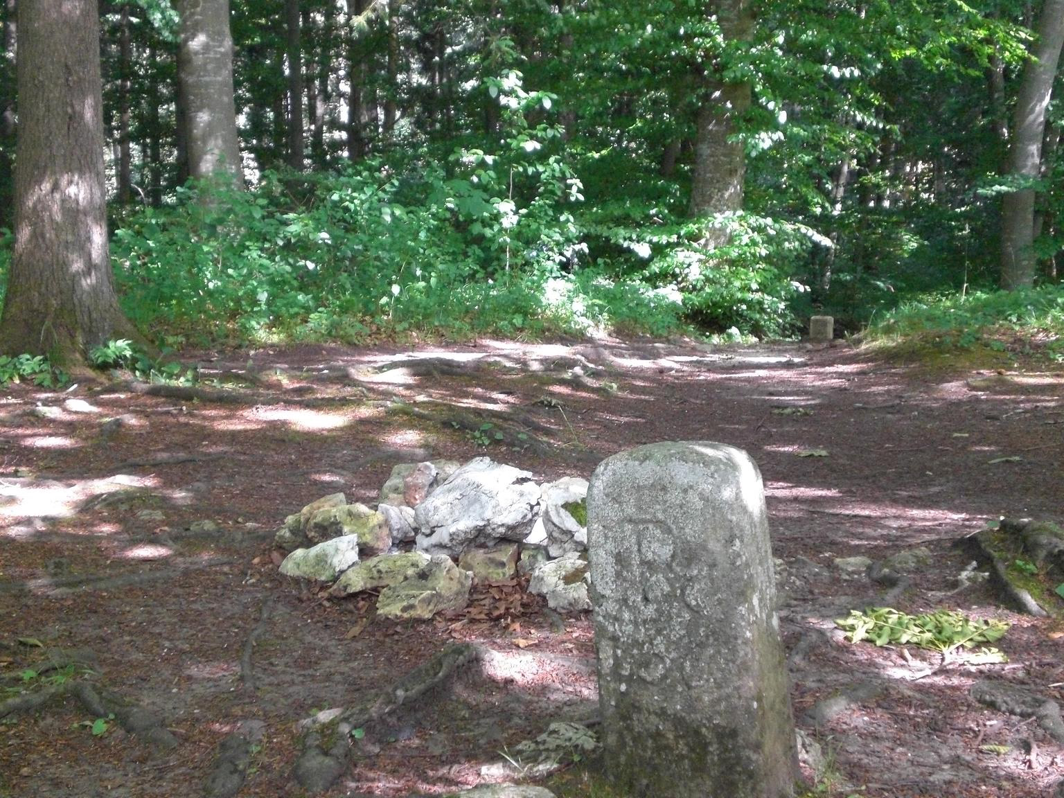
Stahleck Castle refers to an abandoned hilltop castle at 711 m above sea level. NN high mountain spur above the Echaztal, about two kilometers northwest of the church in the village of St. Johann-Ohnastetten in the Reutlingen district in Baden-Württemberg. The castle was first indirectly mentioned in 1254 by “Konrad von Stahleck”. It may have been owned by the Lords of Greifenstein, but since it was not destroyed along with the other Greifenstein castles in the Imperial War (1311–1312), this seems questionable.
- Category
- Forgotten History
- Location
- Lichtenstein, Germany
- Coordinates
- 48.44210, 9.29705
- How to get there
- Google MapsApple MapsOpenStreetMap
- Wikidata
- Q1014052
What is Burg Stahleck?
Burg Stahleck is a Forgotten History place on VeroMaps. Other places close by: Greifenstein Castle, Olgahöhle, Burg Alt-Lichtenstein, Lichtenstein Castle.
Where is Burg Stahleck?
Burg Stahleck is in Lichtenstein, Germany. Coordinates: 48.44210, 9.29705.
How do I get to Burg Stahleck?
Burg Stahleck is at Lichtenstein, Germany (48.44210, 9.29705). Enter these coordinates in Google Maps, Apple Maps or OpenStreetMap for walking, cycling or driving directions.