Urbex & Abandoned
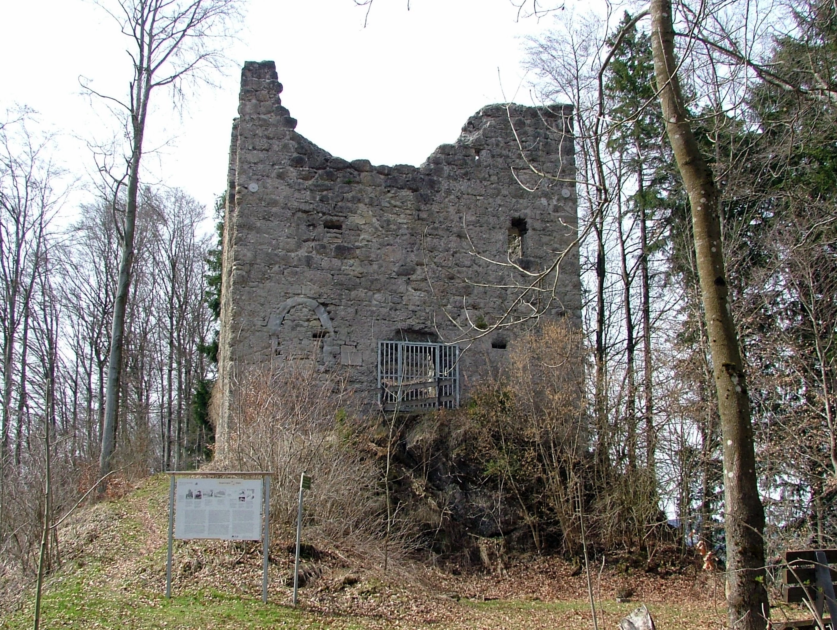
Ruin Langenegg
Rettenberg, Germany
Burg Langenegg ist eine Burgruine auf einem bewaldeten Hügel innerhalb einer Flussschleife der Iller in der Gemarkung Martinszell der Gemeinde Waltenhofen im bayrischen Landkreis Oberallgäu. Sie ist als Bau-, Boden- und Naturdenkmal geschützt.
- Category
- Urbex & Abandoned
- Location
- Rettenberg, Germany
- Coordinates
- 47.61530, 10.29360
- How to get there
- Google MapsApple MapsOpenStreetMap
- Wikidata
- Q1012841
What is Ruin Langenegg?
Ruin Langenegg is a Urbex & Abandoned place on VeroMaps. Other places close by: Hohler Stein, Burg Rettenberg, St. Nikolaus, Burg Werdenstein.
Where is Ruin Langenegg?
Ruin Langenegg is in Rettenberg, Germany. Coordinates: 47.61530, 10.29360.
How do I get to Ruin Langenegg?
Ruin Langenegg is at Rettenberg, Germany (47.61530, 10.29360). Enter these coordinates in Google Maps, Apple Maps or OpenStreetMap for walking, cycling or driving directions.