Forgotten History
Burg Rettenberg
Viehweid, Germany
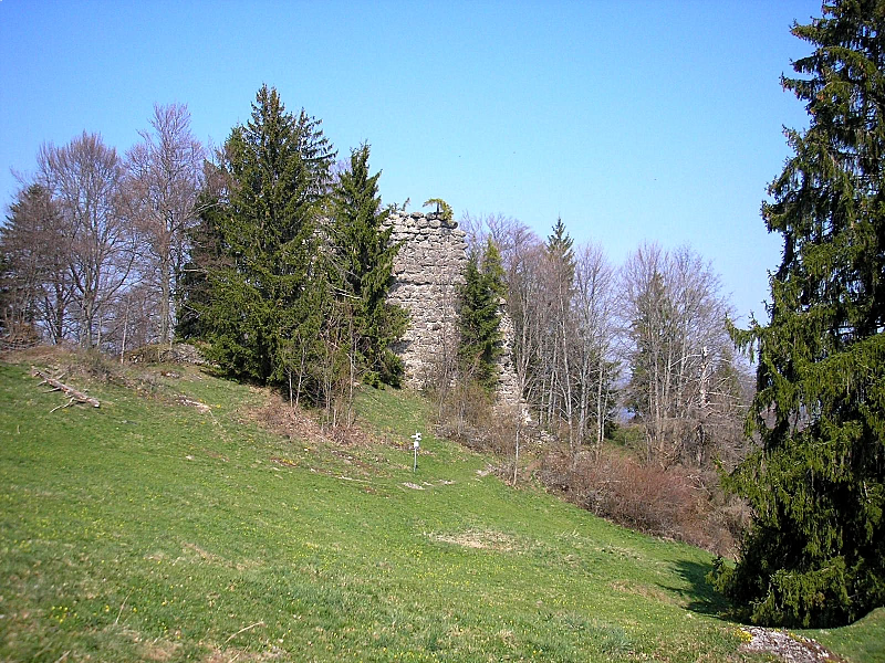
Rettenberg Castle (also: Vorderburg Castle) is located about 600 meters northwest of the town of Großdorf, which belongs to the municipality of Rettenberg, at an altitude of about 1020 meters on the northern end of the ridge of the Rottachberg in the Oberallgäu district (Bavarian Swabia). The ruins of the high to late medieval tower castle have been cordoned off since the beginning of 2013 due to the risk of falling rocks.
- Category
- Forgotten History
- Location
- Viehweid, Germany
- Coordinates
- 47.61720, 10.32830
- How to get there
- Google MapsApple MapsOpenStreetMap
- Wikidata
- Q1013655
What is Burg Rettenberg?
Burg Rettenberg is a Forgotten History place on VeroMaps. Other places close by: Hohler Stein, St. Nikolaus, Ruin Langenegg, Burg Sulzberg.
Where is Burg Rettenberg?
Burg Rettenberg is in Viehweid, Germany. Coordinates: 47.61720, 10.32830.
How do I get to Burg Rettenberg?
Burg Rettenberg is at Viehweid, Germany (47.61720, 10.32830). Enter these coordinates in Google Maps, Apple Maps or OpenStreetMap for walking, cycling or driving directions.