Forgotten History
Rocca Paolina
Italy
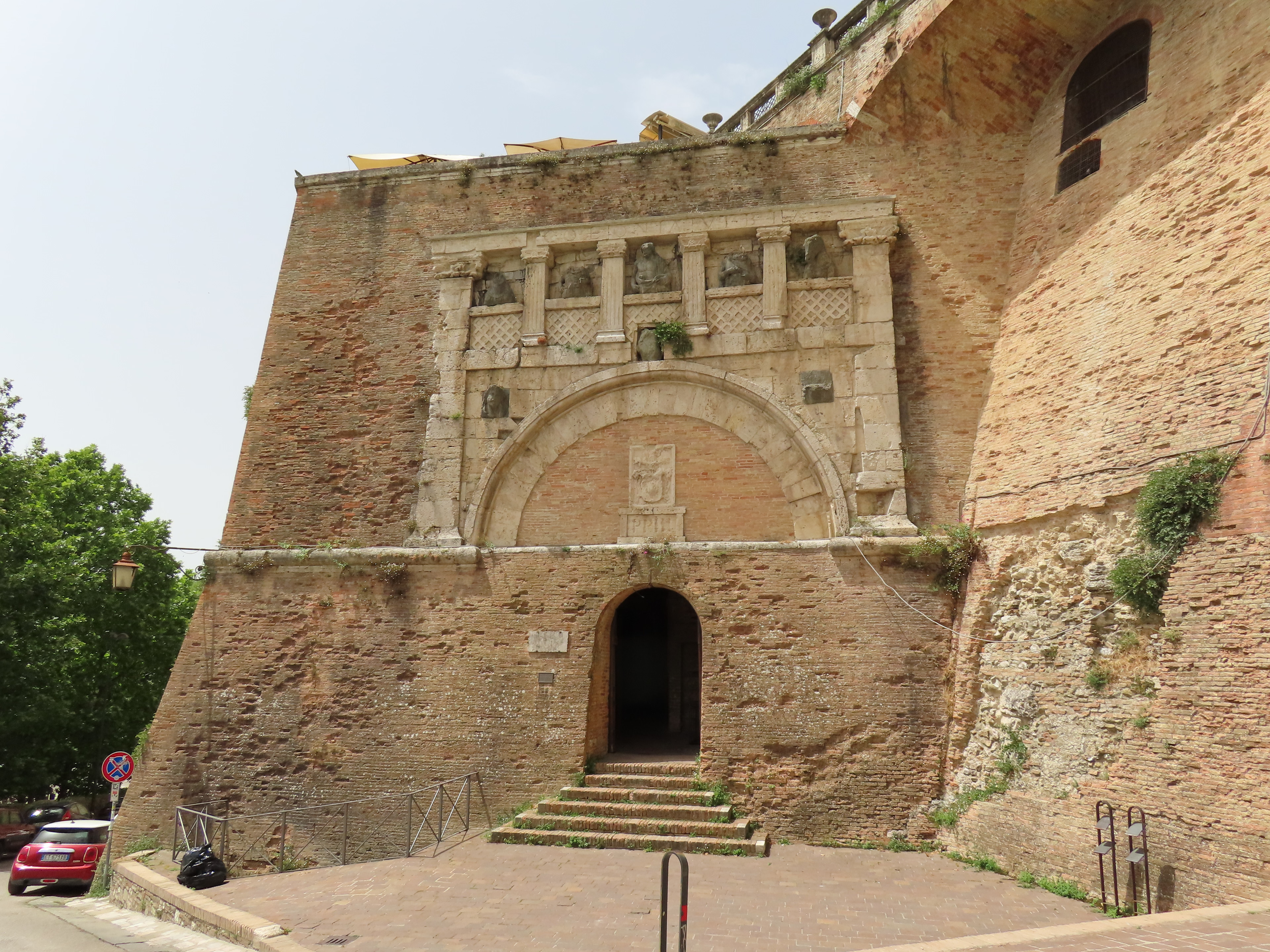
The Rocca Paolina was a Renaissance fortress in Perugia, built between 1540 and 1543 by order of Pope Paul III, based on designs by Antonio da Sangallo the Younger. Its construction entailed the destruction of a significant part of the historic city, including Etruscan, Roman, and medieval structures. Among the demolished buildings were the residences of the Baglioni family in the burgh of Santa Giuliana, along with over a hundred tower-houses, gates, churches, and monasteries. Former city streets were transformed into underground passageways, which are now accessible to the public. The fortress was partially destroyed during uprisings in 1848, rebuilt by Pope Pius IX in 1860, and finally demolished in 1861 following Perugia's annexation by the Kingdom of Italy. The underground via Bagliona and remnants of the medieval quarter were uncovered and restored in 1932, with further work undertaken in 1965. Today, part of the original supporting wall remains visible on viale Indipendenza, while a bastion on via Marzia has been repurposed as an exhibition space and museum.
- Category
- Forgotten History
- Location
- Italy
- Address
- Piazza Italia
- Coordinates
- 43.10833, 12.38806
- How to get there
- Google MapsApple MapsOpenStreetMap
- Wikidata
- Q3437424
What is Rocca Paolina?
Rocca Paolina is a Forgotten History place on VeroMaps, on Piazza Italia. Other places close by: Fontana Maggiore, Pozzo Etrusco, San Manno hypogeum, Portiuncula.
Where is Rocca Paolina?
Rocca Paolina is in Italy. Coordinates: 43.10833, 12.38806.
How do I get to Rocca Paolina?
Rocca Paolina is at Piazza Italia, Italy (43.10833, 12.38806). Enter these coordinates in Google Maps, Apple Maps or OpenStreetMap for walking, cycling or driving directions.