Forgotten History
Castello di Reschio
Italy
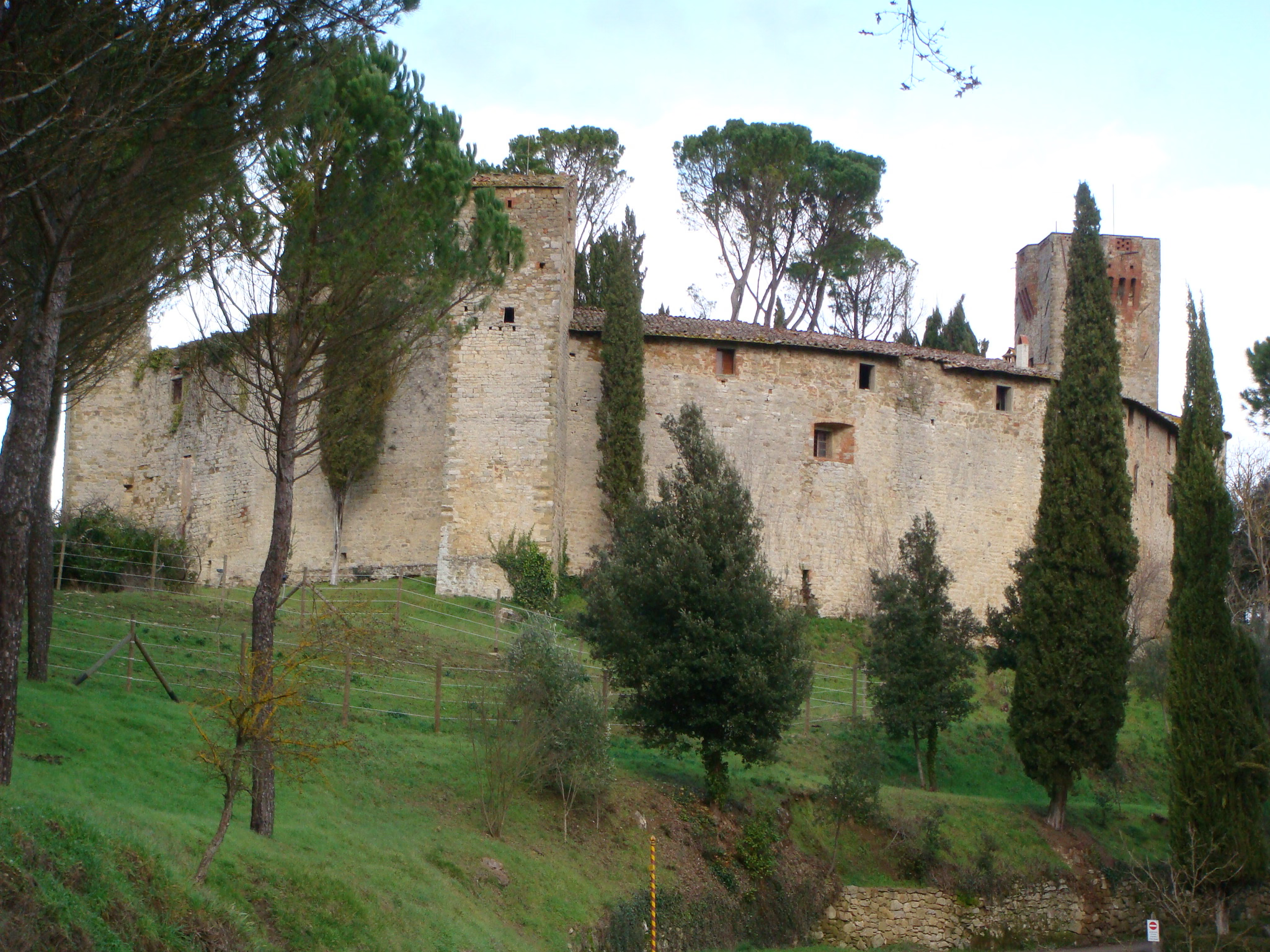
Castello di Reschio forms part of a chain of walled settlements in proximity of the Tuscan boundaries. It belonged to the county of Porta Sant’Angelo of the commune of Perugia, perched on a hillock above the valley of Pierle, along the right riverbank of the Niccone stream. Today it is part of the communal territory of Lisciano Niccone, province of Perugia.
- Category
- Forgotten History
- Location
- Italy
- Address
- Strada Provinciale 142 – 06060 Lisciano Niccone
- Coordinates
- 43.27645, 12.19918
- How to get there
- Google MapsApple MapsOpenStreetMap
- Wikidata
- Q3662828
What is Castello di Reschio?
Castello di Reschio is a Forgotten History place on VeroMaps, on Strada Provinciale 142 – 06060 Lisciano Niccone. Other places close by: Rocca di Pierle, Castello di Civitella Ranieri, Cattedrale di San Florido e Amanzio, San Manno hypogeum.
Where is Castello di Reschio?
Castello di Reschio is in Italy. Coordinates: 43.27645, 12.19918.
How do I get to Castello di Reschio?
Castello di Reschio is at Strada Provinciale 142 – 06060 Lisciano Niccone, Italy (43.27645, 12.19918). Enter these coordinates in Google Maps, Apple Maps or OpenStreetMap for walking, cycling or driving directions.