Photo corners
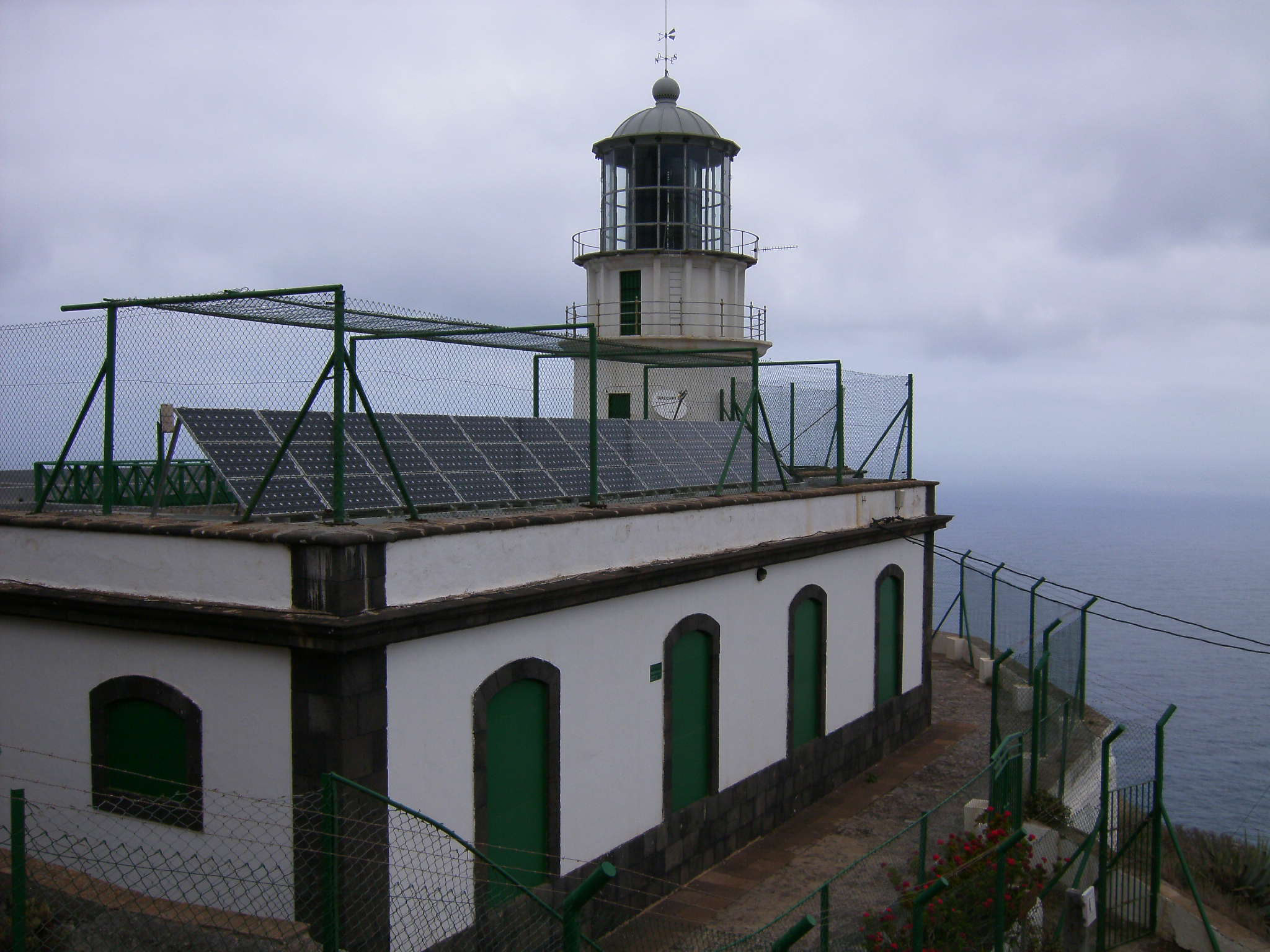
Punta de Anaga Lighthouse
Santa Cruz de Tenerife, Spain
The Punta de Anaga Lighthouse (Spanish: Faro Punta de Anaga) is an active lighthouse on the Canary island of Tenerife, in the municipality of Santa Cruz de Tenerife. Punta de Anaga is the most northerly point on the island, and is where the Anaga mountain range meets the sea. It was originally proposed to construct a second order lighthouse on the Savage Islands, which lie 165 km north of Tenerife. But the sovereignty of the islands was an issue, so a first order light was commissioned at Punta de Anaga instead.
- Category
- Photo Spots
- Location
- Santa Cruz de Tenerife, Spain
- Coordinates
- 28.58139, -16.14000
- How to get there
- Google MapsApple MapsOpenStreetMap
- Wikidata
- Q5856349
What is Punta de Anaga Lighthouse?
Punta de Anaga Lighthouse is a Photo Spots place on VeroMaps. Other places close by: Roque Bermejo, Las Palmas (Anaga), San Andrés Castle, Paso Alto Castle.
Where is Punta de Anaga Lighthouse?
Punta de Anaga Lighthouse is in Santa Cruz de Tenerife, Spain. Coordinates: 28.58139, -16.14000.
How do I get to Punta de Anaga Lighthouse?
Punta de Anaga Lighthouse is at Santa Cruz de Tenerife, Spain (28.58139, -16.14000). Enter these coordinates in Google Maps, Apple Maps or OpenStreetMap for walking, cycling or driving directions.