Photo corners
Poor's Allotment
Cardiff, United Kingdom
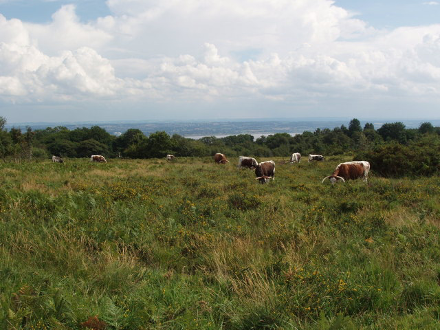
Poor's Allotment (grid reference ST560990) is a 28. 57-hectare (70. 6-acre) biological Site of Special Scientific Interest in Gloucestershire, notified in 1954. The site is listed in the 'Forest of Dean Local Plan Review' as a Key Wildlife Site (KWS).
- Category
- Photo Spots
- Location
- Cardiff, United Kingdom
- Coordinates
- 51.68850, -2.63718
- How to get there
- Google MapsApple MapsOpenStreetMap
- Wikidata
- Q7228751
What is Poor's Allotment?
Poor's Allotment is a Photo Spots place on VeroMaps. Other places close by: Ridley Bottom, Tintern Quarry, Chepstow Castle, Beaufort Hotel.
Where is Poor's Allotment?
Poor's Allotment is in Cardiff, United Kingdom. Coordinates: 51.68850, -2.63718.
How do I get to Poor's Allotment?
Poor's Allotment is at Cardiff, United Kingdom (51.68850, -2.63718). Enter these coordinates in Google Maps, Apple Maps or OpenStreetMap for walking, cycling or driving directions.