Photo corners
Foxes Bridge Bog
Ruspidge and Soudley, United Kingdom
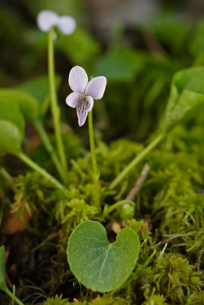
Foxes Bridge Bog (grid reference SO630125) is a 5.3-hectare (13-acre) nature reserve in Gloucestershire. The site is owned by the Forestry Commission and is managed by the Gloucestershire Wildlife Trust in partnership with the Forestry Commission. The site is listed in the 'Forest of Dean Local Plan Review' as a Key Wildlife Site (KWS).
- Category
- Photo Spots
- Location
- Ruspidge and Soudley, United Kingdom
- Coordinates
- 51.81040, -2.53736
- How to get there
- Google MapsApple MapsOpenStreetMap
- Wikidata
- Q5477128
What is Foxes Bridge Bog?
Foxes Bridge Bog is a Photo Spots place on VeroMaps. Other places close by: Wigpool, Stowfield Quarry, Clearwell Castle, Berkeley Arms, Purton.
Where is Foxes Bridge Bog?
Foxes Bridge Bog is in Ruspidge and Soudley, United Kingdom. Coordinates: 51.81040, -2.53736.
How do I get to Foxes Bridge Bog?
Foxes Bridge Bog is at Ruspidge and Soudley, United Kingdom (51.81040, -2.53736). Enter these coordinates in Google Maps, Apple Maps or OpenStreetMap for walking, cycling or driving directions.