Photo corners
pont Saint-Michel
Paris, France
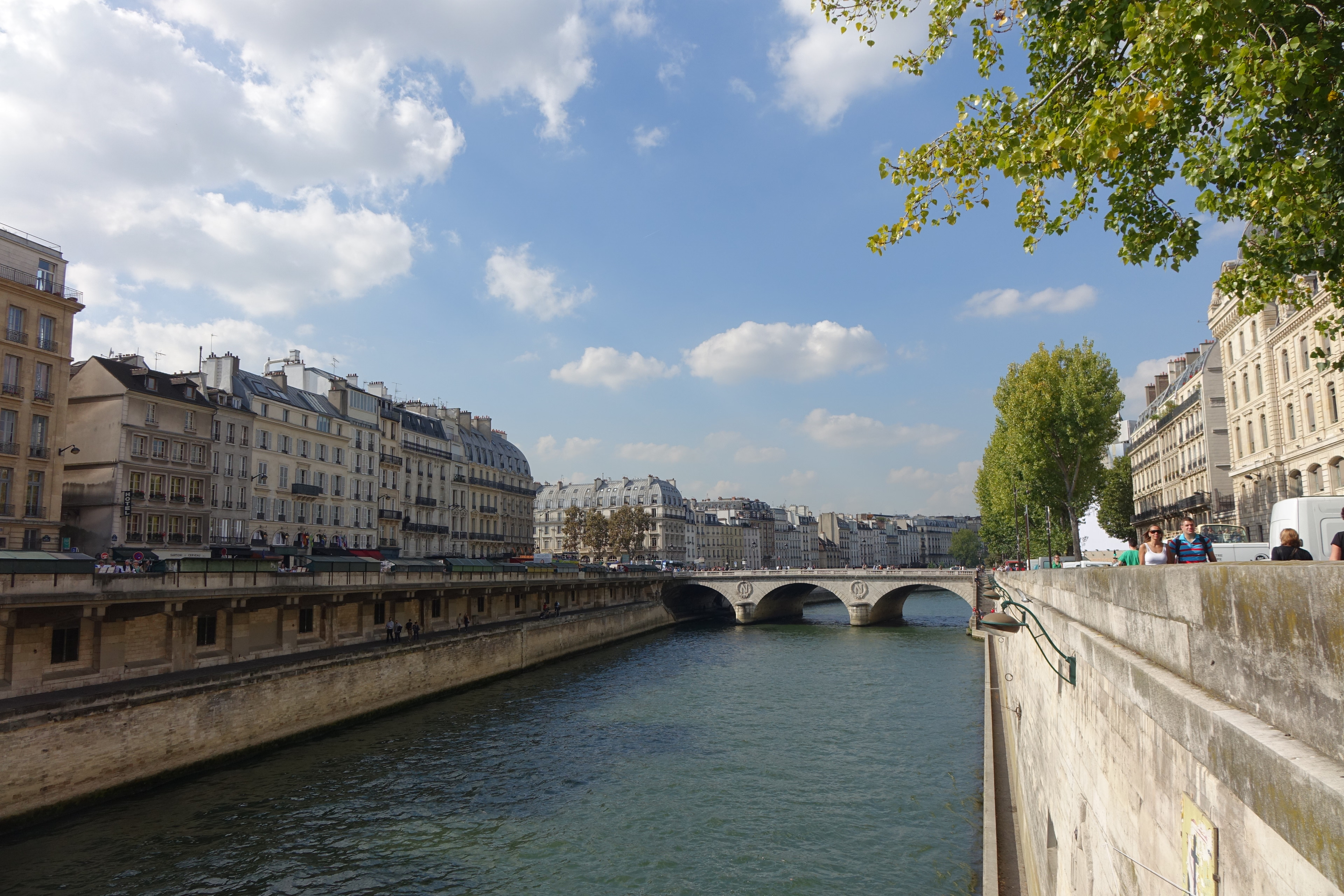
Pont Saint-Michel (French pronunciation: [pɔ̃ sɛ̃ miʃɛl]) is a bridge linking the Place Saint-Michel on the left bank of the river Seine to the Île de la Cité. It was named after the nearby chapel of Saint-Michel. It is near Sainte Chapelle and the Palais de Justice. The present 62-metre-long bridge dates to 1857.
- Category
- Photo Spots
- Location
- Paris, France
- Coordinates
- 48.85417, 2.34472
- How to get there
- Google MapsApple MapsOpenStreetMap
- Wikidata
- Q1329076
What is pont Saint-Michel?
pont Saint-Michel is a Photo Spots place on VeroMaps. Other places close by: 1995 Paris RER bombing, Sainte Chapelle, fontaine Saint-Michel, Beat Hotel.
Where is pont Saint-Michel?
pont Saint-Michel is in Paris, France. Coordinates: 48.85417, 2.34472.
How do I get to pont Saint-Michel?
pont Saint-Michel is at Paris, France (48.85417, 2.34472). Enter these coordinates in Google Maps, Apple Maps or OpenStreetMap for walking, cycling or driving directions.