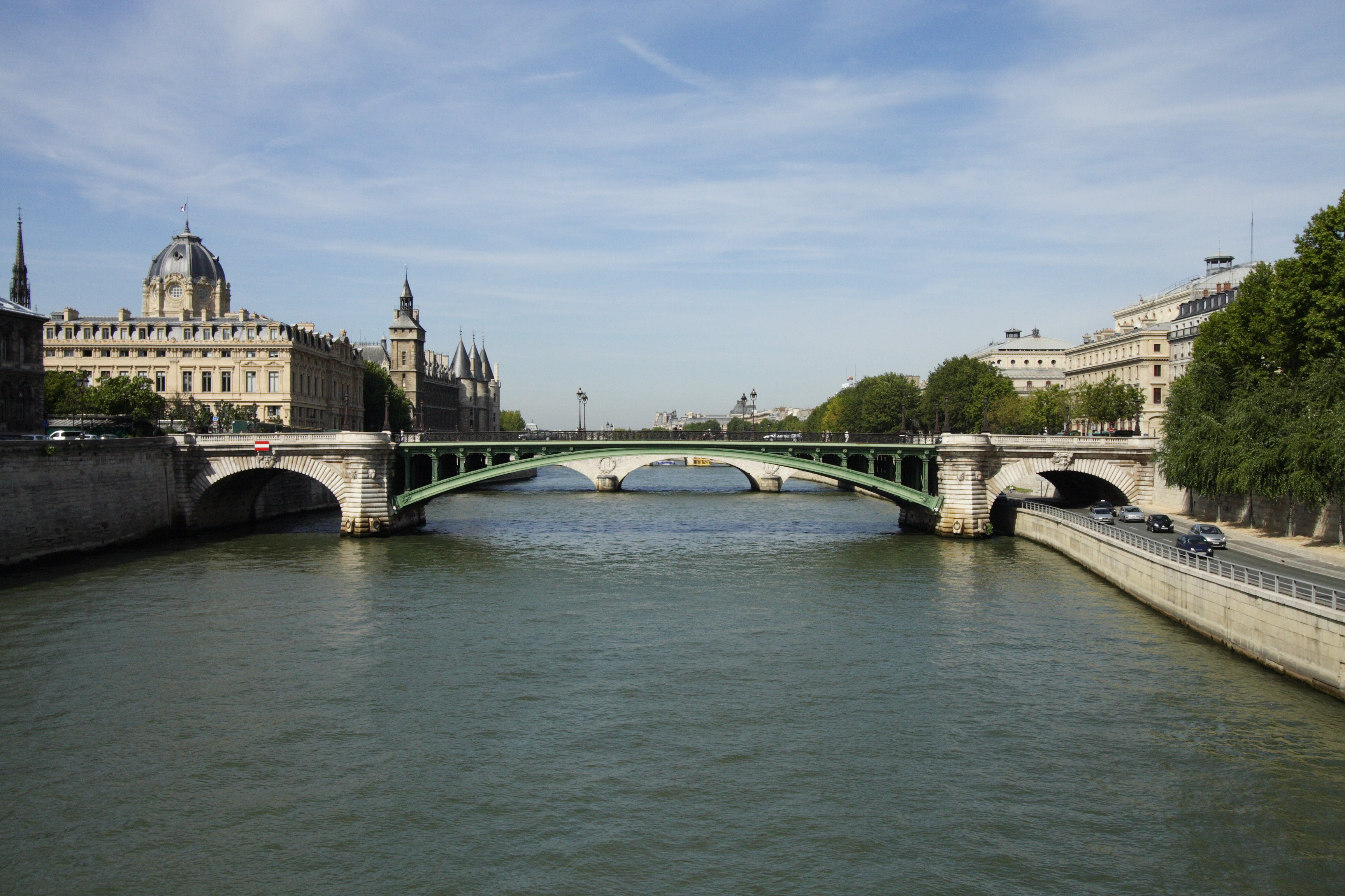
Photo corners
pont Notre-Dame
Paris, France
The Pont Notre-Dame (French pronunciation: [pɔ̃ nɔtʁə dam]) is a bridge that crosses the Seine in Paris, France linking the quai de Gesvres on the Rive Droite with the quai de la Corse on the Île de la Cité. The bridge is noted for being the "most ancient" in Paris, in the sense that, while the oldest bridge in Paris that is in its original state is undoubtedly the Pont Neuf, a bridge in some form has existed at the site of the Pont Notre-Dame since antiquity; nonetheless, it has been destroyed and reconstructed numerous times, a fact referred to in the Latin inscription on it to honor its Italian architect, Fra Giovanni Giocondo. (See below.) The bridge once was lined with approximately sixty houses, the weight of which caused a collapse in 1499.
- Category
- Photo Spots
- Location
- Paris, France
- Coordinates
- 48.85616, 2.34862
- How to get there
- Google MapsApple MapsOpenStreetMap
- Wikidata
- Q1061959
What is pont Notre-Dame?
pont Notre-Dame is a Photo Spots place on VeroMaps. Other places close by: Pont d'Arcole, fontaine du Palmier, Le Zimmer, Sainte Chapelle.
Where is pont Notre-Dame?
pont Notre-Dame is in Paris, France. Coordinates: 48.85616, 2.34862.
How do I get to pont Notre-Dame?
pont Notre-Dame is at Paris, France (48.85616, 2.34862). Enter these coordinates in Google Maps, Apple Maps or OpenStreetMap for walking, cycling or driving directions.