Urbex & Abandoned
Poldice Mine
Cornouailles, United Kingdom
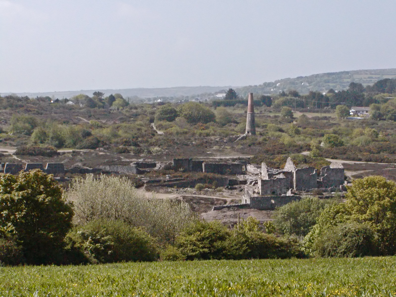
Poldice mine is a former metalliferous mine located in Poldice Valley in southwest Cornwall, England, United Kingdom. It is situated near the hamlet of Todpool, between the villages of Twelveheads and St Day, three miles (5 km) east of Redruth.
- Category
- Urbex & Abandoned
- Location
- Cornouailles, United Kingdom
- Coordinates
- 50.23600, -5.17300
- How to get there
- Google MapsApple MapsOpenStreetMap
- Wikidata
- Q7209233
What is Poldice Mine?
Poldice Mine is a Urbex & Abandoned place on VeroMaps. Other places close by: Consolidated Mines, Engine House Killifreth (Hawke's Shaft), Carn Brea Castle, East Pool Mine.
Where is Poldice Mine?
Poldice Mine is in Cornouailles, United Kingdom. Coordinates: 50.23600, -5.17300.
How do I get to Poldice Mine?
Poldice Mine is at Cornouailles, United Kingdom (50.23600, -5.17300). Enter these coordinates in Google Maps, Apple Maps or OpenStreetMap for walking, cycling or driving directions.