Urbex & Abandoned
Dolcoath Mine
United Kingdom
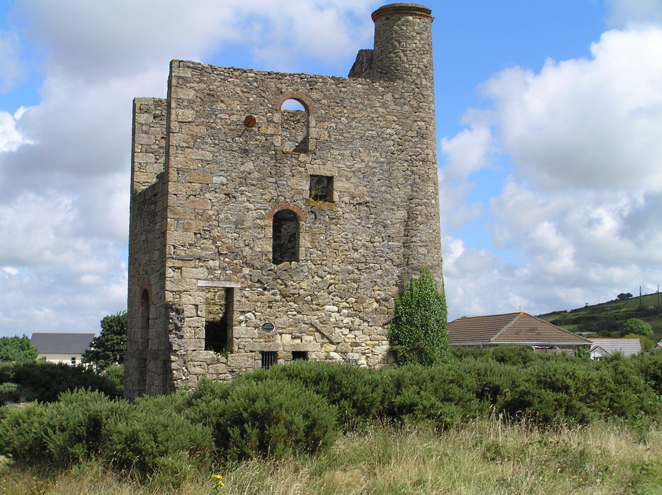
Dolcoath mine (Cornish: Bal Dorkoth) was a copper and tin mine in Camborne, Cornwall, United Kingdom. Its name derives from the Cornish for 'Old Ground', and it was also affectionately known as The Queen of Cornish Mines. The site is north-west of Carn Brea. Dolcoath Road runs between the A3047 road and Chapel Hill. The site is south of this road.
- Category
- Urbex & Abandoned
- Location
- United Kingdom
- Coordinates
- 50.21720, -5.28040
- How to get there
- Google MapsApple MapsOpenStreetMap
- Wikidata
- Q5288904
What is Dolcoath Mine?
Dolcoath Mine is a Urbex & Abandoned place on VeroMaps. Other places close by: South Crofty, East Pool Mine, Carn Brea Castle, Giant's Quoit.
Where is Dolcoath Mine?
Dolcoath Mine is in United Kingdom. Coordinates: 50.21720, -5.28040.
How do I get to Dolcoath Mine?
Dolcoath Mine is at United Kingdom (50.21720, -5.28040). Enter these coordinates in Google Maps, Apple Maps or OpenStreetMap for walking, cycling or driving directions.