Photo corners
Petgärdeträsk
Borgholm Municipality, Sweden
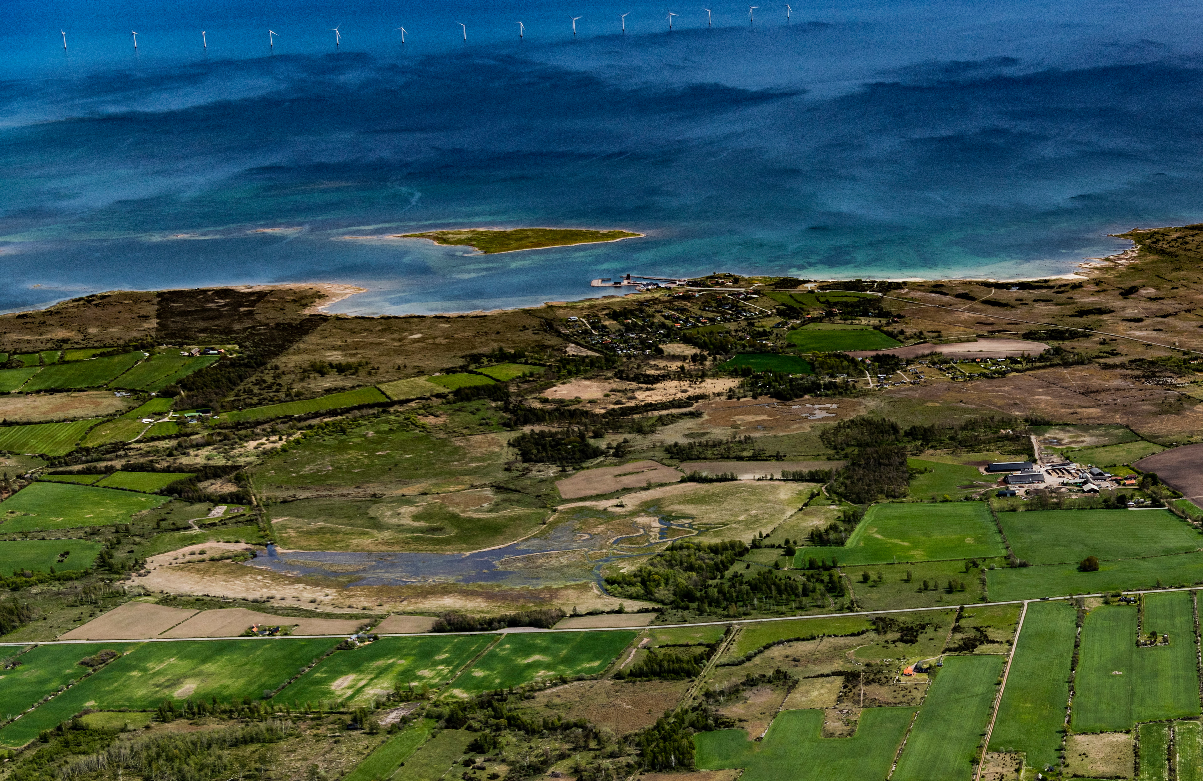
Das Naturreservat Petgärdeträsk ist ein unter Naturschutz stehendes Feuchtgebiet auf der schwedischen Ostseeinsel Öland. Das Gebiet ist als Natura-2000-Gebiet ausgewiesen.
- Category
- Photo Spots
- Location
- Borgholm Municipality, Sweden
- Coordinates
- 56.95448, 16.85800
- How to get there
- Google MapsApple MapsOpenStreetMap
- Wikidata
- Q1970733
What is Petgärdeträsk?
Petgärdeträsk is a Photo Spots place on VeroMaps. Other places close by: Trindborg, Knisa mosse, Kapelludden lighthouse, Borgholm Castle.
Where is Petgärdeträsk?
Petgärdeträsk is in Borgholm Municipality, Sweden. Coordinates: 56.95448, 16.85800.
How do I get to Petgärdeträsk?
Petgärdeträsk is at Borgholm Municipality, Sweden (56.95448, 16.85800). Enter these coordinates in Google Maps, Apple Maps or OpenStreetMap for walking, cycling or driving directions.