Photo corners
Neptune's fields
Borgholm Municipality, Sweden
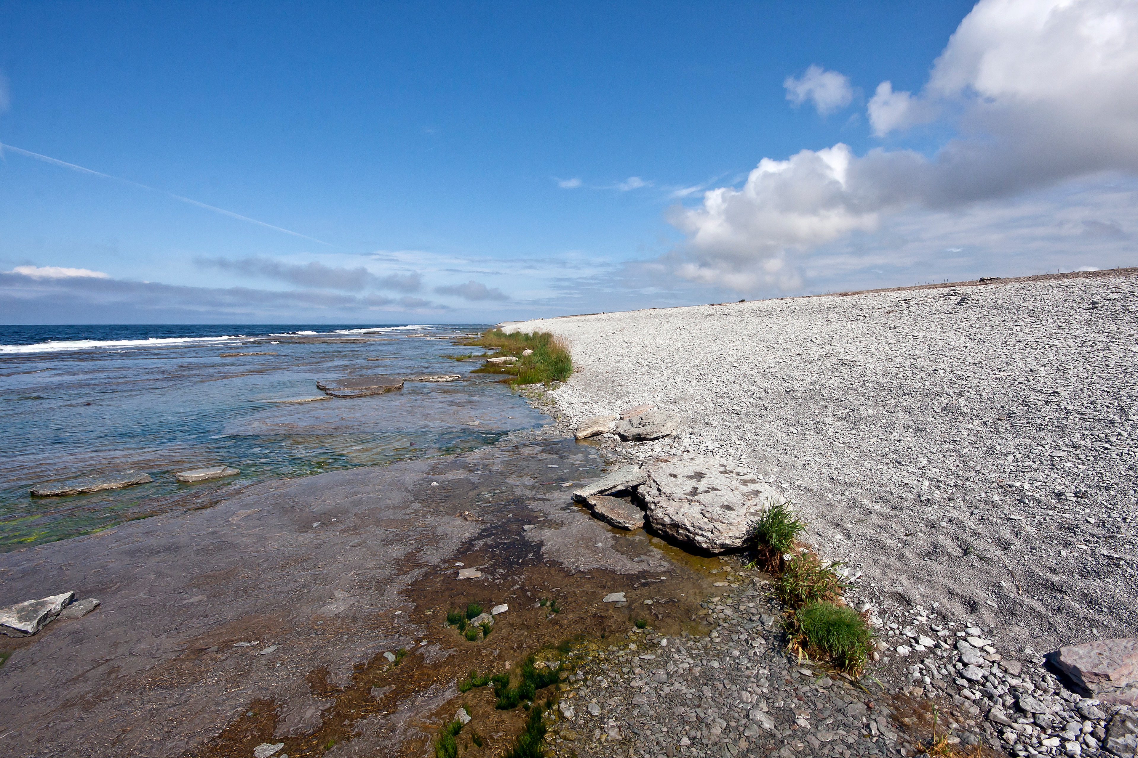
Neptune's fields (Swedish: Neptuni åkrar) is a nature reserve in the north of the island of Öland, Sweden. Located in Borgholm Municipality along the Kalmar Strait, north of the village of Byxelkrok, it consists of a long stretch of cobble beach covered with Echium vulgare which blossoms in June and July, coloring the entire area blue. The cobble stones result from stones left during the last ice age that eroded through the action of the waves, and they are interspersed with fossils from Trilobites and Brachiopods. The place is a well-known tourist attraction. It was named by Carl Linnaeus, who visited the place on his 1741 journey to the island.
- Category
- Photo Spots
- Location
- Borgholm Municipality, Sweden
- Coordinates
- 57.34837, 17.03086
- How to get there
- Google MapsApple MapsOpenStreetMap
- Wikidata
- Q1792466
What is Neptune's fields?
Neptune's fields is a Photo Spots place on VeroMaps. Other places close by: Långe Erik, Trollskogen, Bödakustens östra, Byrum's raukar.
Where is Neptune's fields?
Neptune's fields is in Borgholm Municipality, Sweden. Coordinates: 57.34837, 17.03086.
How do I get to Neptune's fields?
Neptune's fields is at Borgholm Municipality, Sweden (57.34837, 17.03086). Enter these coordinates in Google Maps, Apple Maps or OpenStreetMap for walking, cycling or driving directions.