Urbex & Abandoned
Neolithic flint mines of Spiennes
Chasse Royale, Belgium
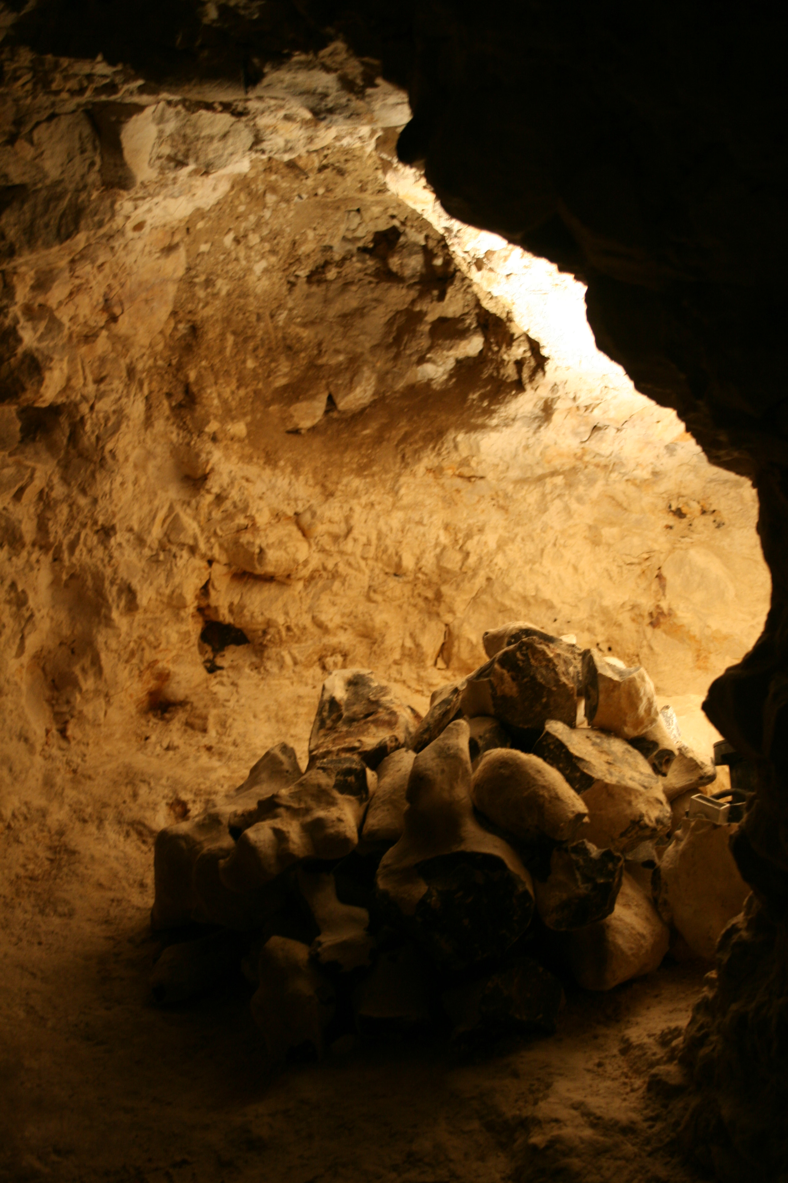
The Neolithic flint mines of Spiennes are among the largest and earliest Neolithic flint mines which survive in north-western Europe, located close to the Walloon village of Spiennes, southeast of Mons, Belgium. The mines were active during the mid and late Neolithic between 4,300 and 2,200 BC. Declared to be "remarkable for the diversity of technological solutions used for extraction" the site and its surroundings were inducted into the UNESCO's list of World Heritage Sites in 2000.
- Category
- Urbex & Abandoned
- Location
- Chasse Royale, Belgium
- Coordinates
- 50.41999, 3.98258
- How to get there
- Google MapsApple MapsOpenStreetMap
- Wikidata
- Q677879
What is Neolithic flint mines of Spiennes?
Neolithic flint mines of Spiennes is a Urbex & Abandoned place on VeroMaps. Other places close by: Chapelle du Bélian de Mons, quarries of la Malonge, Chapelle Saint-Calixte, Coal mines in Frameries.
Where is Neolithic flint mines of Spiennes?
Neolithic flint mines of Spiennes is in Chasse Royale, Belgium. Coordinates: 50.41999, 3.98258.
How do I get to Neolithic flint mines of Spiennes?
Neolithic flint mines of Spiennes is at Chasse Royale, Belgium (50.41999, 3.98258). Enter these coordinates in Google Maps, Apple Maps or OpenStreetMap for walking, cycling or driving directions.