Urbex & Abandoned
coal mine Sauwartan
Dour, Belgium
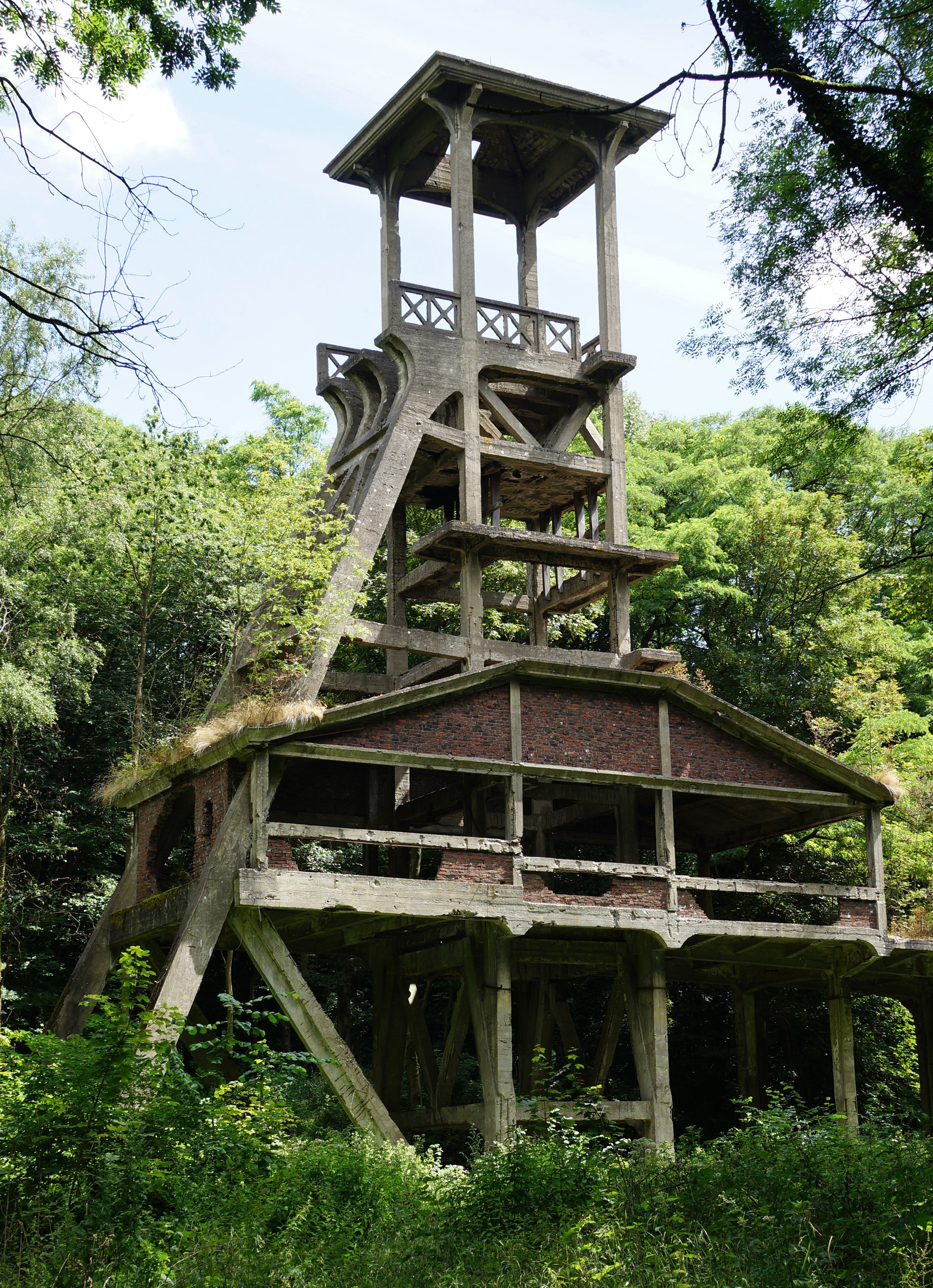
De Steenkoolmijn Sauwartan was een steenkoolmijn in de Belgische gemeente Dour. De site bevindt zich in het gehucht Dérodé aan de rand van bos van Saint-Ghislain dat deel uitmaakt van het bos van Colfontaine. Er bevinden zich oude mijngebouwen waaronder een betonnen schachtbok en een terril.
- Category
- Urbex & Abandoned
- Location
- Dour, Belgium
- Coordinates
- 50.39233, 3.81615
- How to get there
- Google MapsApple MapsOpenStreetMap
- Wikidata
- Q2630270
What is coal mine Sauwartan?
coal mine Sauwartan is a Urbex & Abandoned place on VeroMaps. Other places close by: Chapelle de Cocars, Sars-la-Bruyère Castle, Grand Hornu, Château de Boussu.
Where is coal mine Sauwartan?
coal mine Sauwartan is in Dour, Belgium. Coordinates: 50.39233, 3.81615.
How do I get to coal mine Sauwartan?
coal mine Sauwartan is at Dour, Belgium (50.39233, 3.81615). Enter these coordinates in Google Maps, Apple Maps or OpenStreetMap for walking, cycling or driving directions.