Forgotten History
Monraburg
Kölleda, Germany
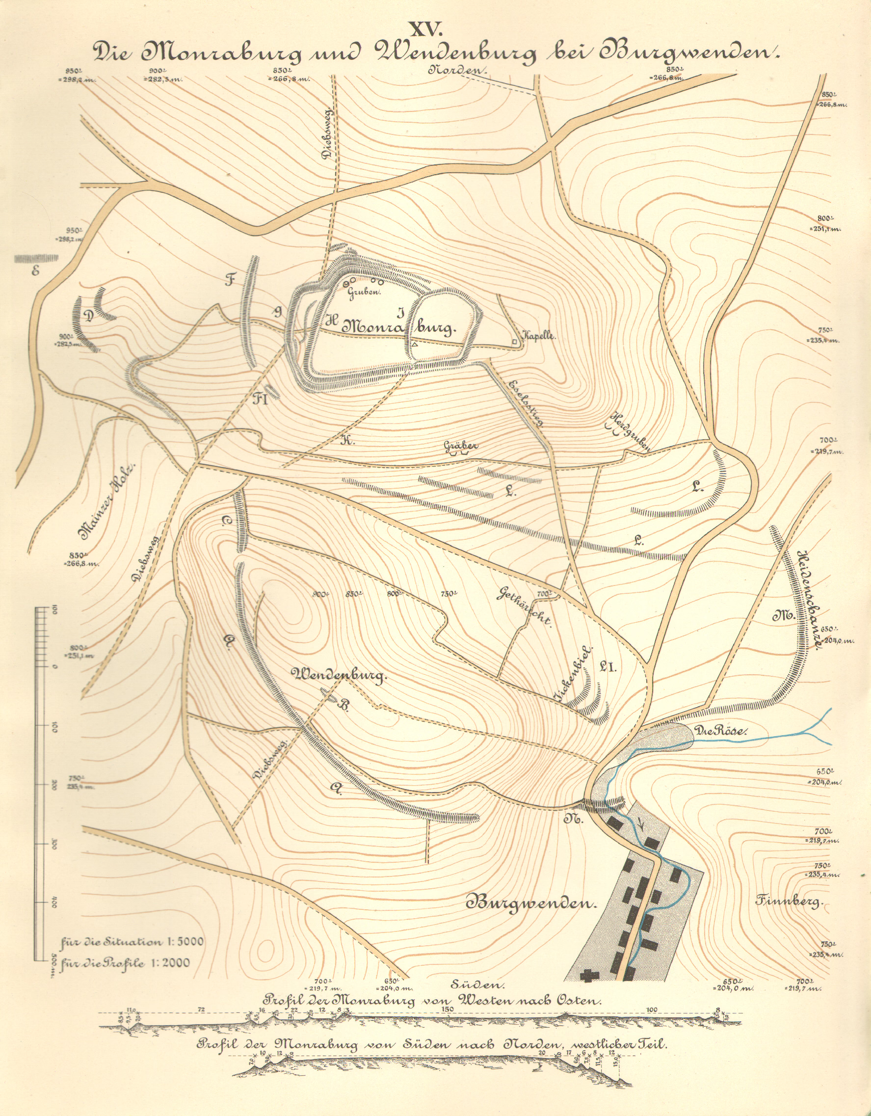
The Monraburg is a castle ruin near Großmonra in the Sömmerda district in Thuringia. Parts of the rampart system of the hill fort are still preserved. Today, the castle is protected as an archaeological monument.
- Category
- Forgotten History
- Location
- Kölleda, Germany
- Coordinates
- 51.23760, 11.28800
- How to get there
- Google MapsApple MapsOpenStreetMap
- Wikidata
- Q1945156
What is Monraburg?
Monraburg is a Forgotten History place on VeroMaps. Other places close by: Hallonge, Menhir of Büchel, Leubingen tumulus, Untere Sachsenburg.
Where is Monraburg?
Monraburg is in Kölleda, Germany. Coordinates: 51.23760, 11.28800.
How do I get to Monraburg?
Monraburg is at Kölleda, Germany (51.23760, 11.28800). Enter these coordinates in Google Maps, Apple Maps or OpenStreetMap for walking, cycling or driving directions.