Local Legends
Hallonge
Kolleda, Germany
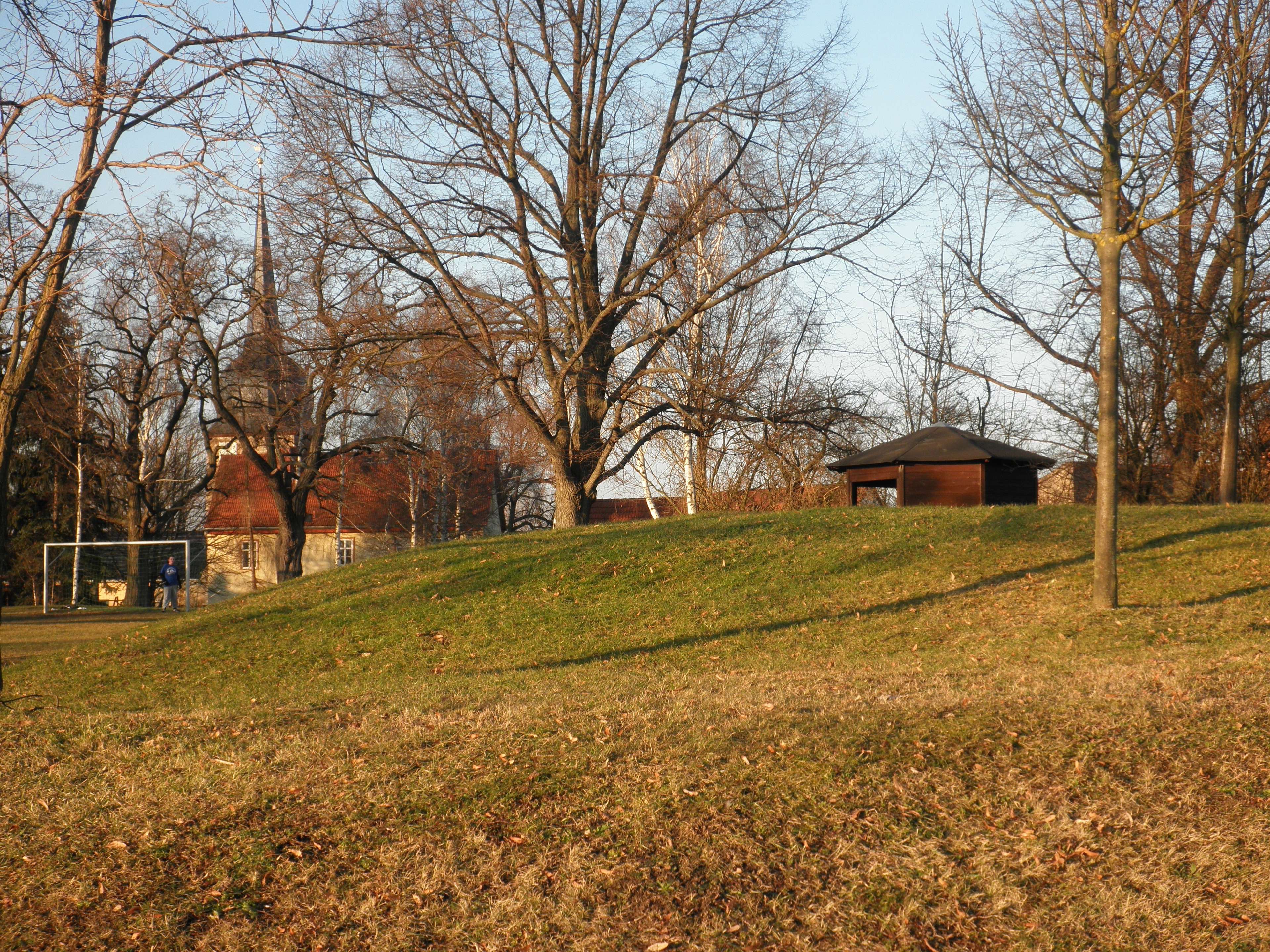
Die Hallonge (oder Hallunke) ist ein vorgeschichtlicher Grabhügel in Battgendorf im Landkreis Sömmerda, Thüringen. Er wird in die zweite Hälfte des 3. Jahrtausends v. Chr. datiert.
- Category
- Local Legends
- Location
- Kolleda, Germany
- Coordinates
- 51.20327, 11.26170
- How to get there
- Google MapsApple MapsOpenStreetMap
- Wikidata
- Q105679736
What is Hallonge?
Hallonge is a Local Legends place on VeroMaps. Other places close by: Monraburg, Leubingen tumulus, Menhir of Büchel, Untere Sachsenburg.
Where is Hallonge?
Hallonge is in Kolleda, Germany. Coordinates: 51.20327, 11.26170.
How do I get to Hallonge?
Hallonge is at Kolleda, Germany (51.20327, 11.26170). Enter these coordinates in Google Maps, Apple Maps or OpenStreetMap for walking, cycling or driving directions.