Urbex & Abandoned
Mine Egbert
Hattingen, Germany
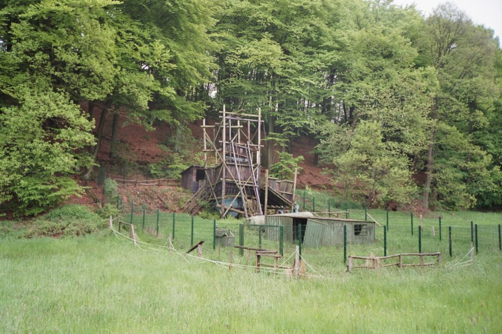
Die Zeche Egbert war ein Steinkohlen-Bergwerk bei Herbede. Sie war die letzte Kleinzeche des Ruhrgebietes. Von 1962 bis 1976 wurde in 135 Metern Teufe Steinkohle von etwa sechs Bergmännern abgebaut. Pro Mann und Arbeitstag wurden bis zu zwei Tonnen Kohle zu Tage gefördert und abtransportiert.
- Category
- Urbex & Abandoned
- Location
- Hattingen, Germany
- Address
- Kämpenstraße 97, Hattingen
- Coordinates
- 51.40310, 7.28020
- How to get there
- Google MapsApple MapsOpenStreetMap
- Wikidata
- Q169763
What is Mine Egbert?
Mine Egbert is a Urbex & Abandoned place on VeroMaps, on Kämpenstraße 97. Other places close by: BlueBox Bochum, Mine Blankenburg, Zeche Herbede, Haus Kemnade.
Where is Mine Egbert?
Mine Egbert is in Hattingen, Germany. Coordinates: 51.40310, 7.28020.
How do I get to Mine Egbert?
Mine Egbert is at Kämpenstraße 97, Hattingen, Germany (51.40310, 7.28020). Enter these coordinates in Google Maps, Apple Maps or OpenStreetMap for walking, cycling or driving directions.