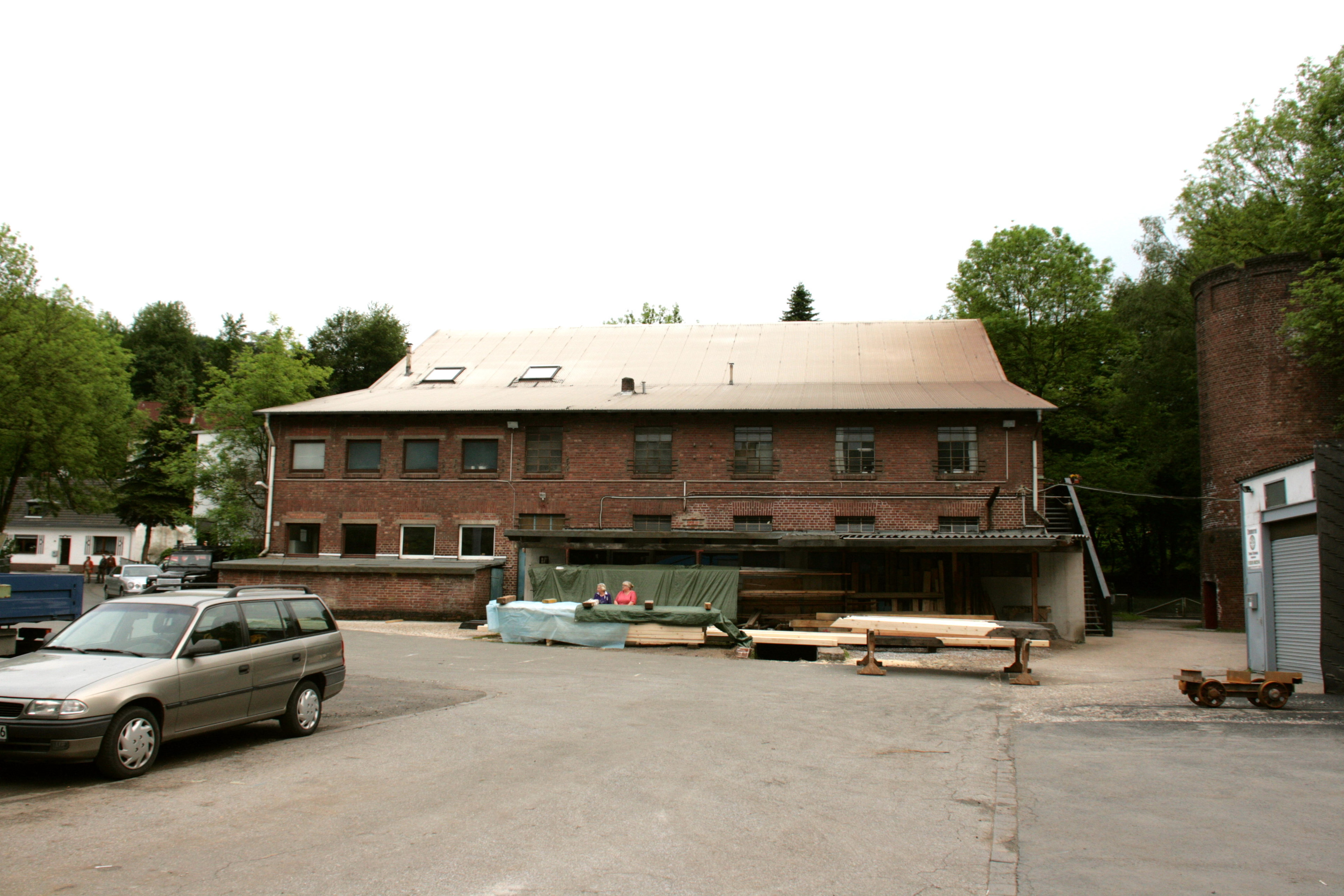
Urbex & Abandoned
Mine Blankenburg
Witten, Germany
Die Zeche Blankenburg war eine Kohlenzeche in der Nähe des Wittener Ortsteils Durchholz im Hammertal. Sie entstand 1865 durch die Konsolidierung mehrerer Zechen.
- Category
- Urbex & Abandoned
- Location
- Witten, Germany
- Address
- Im Hammertal 85, Witten
- Coordinates
- 51.40000, 7.26000
- How to get there
- Google MapsApple MapsOpenStreetMap
- Wikidata
- Q169680
What is Mine Blankenburg?
Mine Blankenburg is a Urbex & Abandoned place on VeroMaps, on Im Hammertal 85. Other places close by: Haus Kemnade, Mine Egbert, Zeche Herbede, Blankenstein Castle.
Where is Mine Blankenburg?
Mine Blankenburg is in Witten, Germany. Coordinates: 51.40000, 7.26000.
How do I get to Mine Blankenburg?
Mine Blankenburg is at Im Hammertal 85, Witten, Germany (51.40000, 7.26000). Enter these coordinates in Google Maps, Apple Maps or OpenStreetMap for walking, cycling or driving directions.