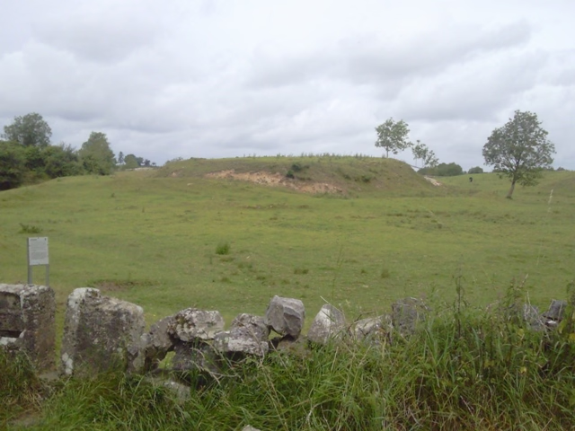
Local Legends
Magh Adhair
County Clare, Ireland
Magh Adhair (Irish pronunciation: [ˌmˠaː ˈəiɾʲ]; "Adair's plain") is a former inauguration site and place of archaeological significance located near the village of Quin, County Clare, in Ireland.
- Category
- Local Legends
- Location
- County Clare, Ireland
- Coordinates
- 52.84131, -8.82875
- How to get there
- Google MapsApple MapsOpenStreetMap
- Wikidata
- Q28196030
What is Magh Adhair?
Magh Adhair is a Local Legends place on VeroMaps. Other places close by: Moghane Hillfort, Dromoland Castle, Ballycar Castle, Bunratty Castle.
Where is Magh Adhair?
Magh Adhair is in County Clare, Ireland. Coordinates: 52.84131, -8.82875.
How do I get to Magh Adhair?
Magh Adhair is at County Clare, Ireland (52.84131, -8.82875). Enter these coordinates in Google Maps, Apple Maps or OpenStreetMap for walking, cycling or driving directions.