Forgotten History
Isenburg
Barsinghausen, Germany
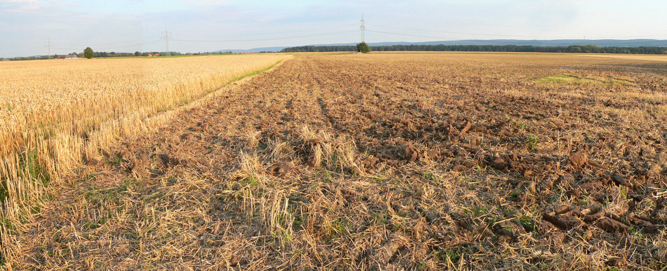
The Isenburg, previously also known as Ysenburg, was an early medieval hill fort that was located in the district near Barsinghausen-Landringhausen and Groß Munzel in the Hanover region. The ring wall, which was built in a swampy lowland around the 10th to 11th centuries, probably served as a refuge. Its remains were completely leveled above ground in the 19th century for use as arable land. It was only an excavation in 1982/83 that provided more detailed information about the structure and the period in which it was built.
- Category
- Forgotten History
- Location
- Barsinghausen, Germany
- Coordinates
- 52.36480, 9.44530
- How to get there
- Google MapsApple MapsOpenStreetMap
- Wikidata
- Q1673816
What is Isenburg?
Isenburg is a Forgotten History place on VeroMaps. Other places close by: Belvedereturm, Kaliwerk Sigmundshall, Heisterburg, Feggendorfer Stollen.
Where is Isenburg?
Isenburg is in Barsinghausen, Germany. Coordinates: 52.36480, 9.44530.
How do I get to Isenburg?
Isenburg is at Barsinghausen, Germany (52.36480, 9.44530). Enter these coordinates in Google Maps, Apple Maps or OpenStreetMap for walking, cycling or driving directions.