Photo corners
Looe Island
United Kingdom
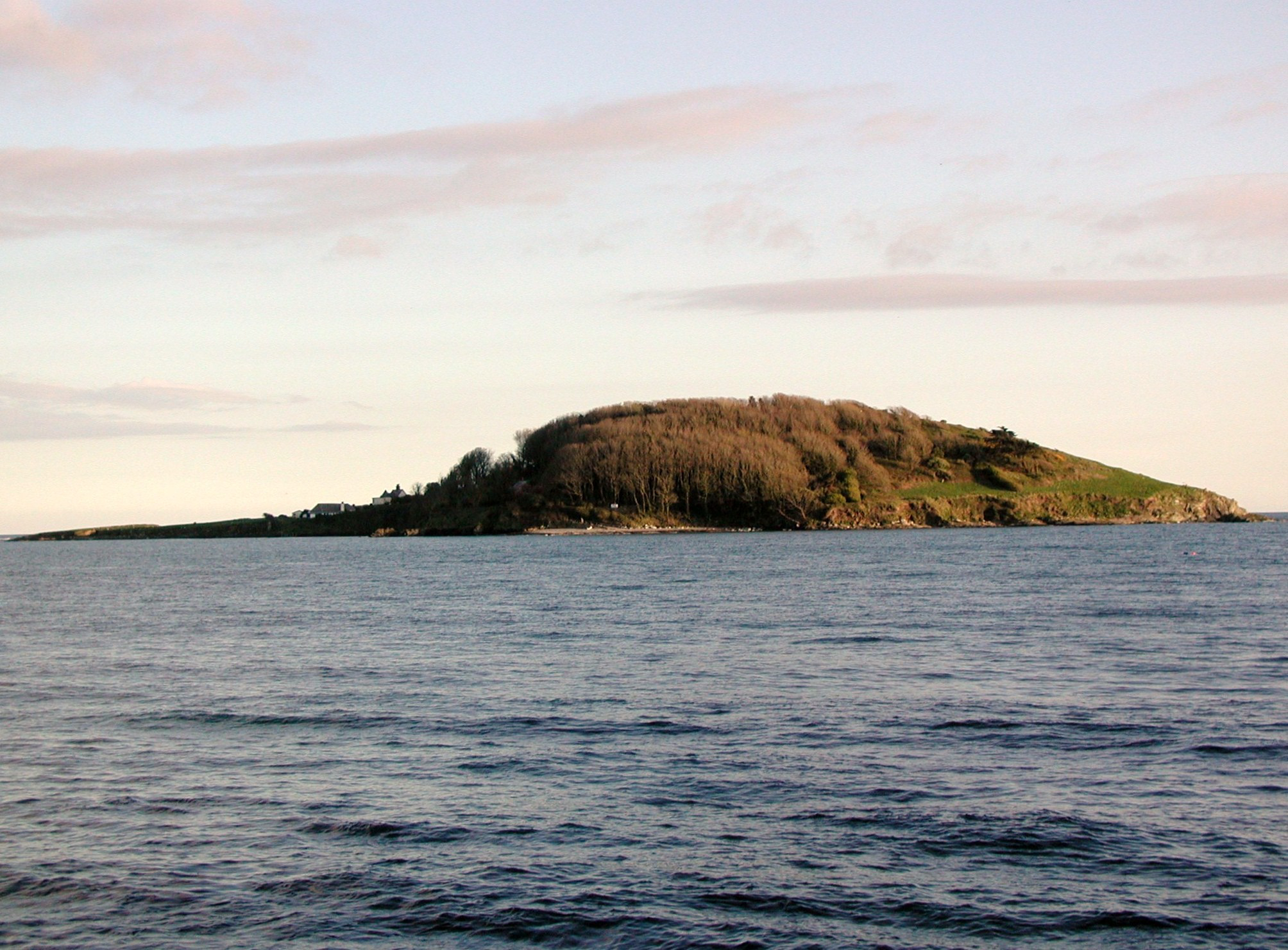
Looe Island (Cornish: Enys Lann-Managh, meaning "island of the monk's enclosure"), also known as St George's Island, is a small island and nature reserve a mile from the mainland town of Looe in Cornwall, England. According to local legend, Joseph of Arimathea landed here with the Christ Child. Some scholars, including Glyn S. Lewis, suggest the island could be Ictis, the location described by Diodorus Siculus as a centre for the tin trade in pre-Roman Britain. The island is now owned and managed by the Cornwall Wildlife Trust. Access, including landing on the foreshore and flying of drones over the island, is carefully managed for the benefit of wildlife, and landing is only possible via the Cornwall Wildlife Trust's authorized boat operator. The waters around the island are a marine nature reserve and form part of the Whitsand and Looe Bay Marine Conservation Area. First established in 1995, the Whitsand and Looe Bay Marine Conservation Area covers nearly 5 km of coastline and aims to protect the coastal and marine wildlife around Looe.
- Category
- Photo Spots
- Location
- United Kingdom
- Coordinates
- 50.33664, -4.45205
- How to get there
- Google MapsApple MapsOpenStreetMap
- Wikidata
- Q4618058
What is Looe Island?
Looe Island is a Photo Spots place on VeroMaps. Other places close by: St Catherine's Castle, Fowey Consols mine, Restormel Castle, Penlee Battery.
Where is Looe Island?
Looe Island is in United Kingdom. Coordinates: 50.33664, -4.45205.
How do I get to Looe Island?
Looe Island is at United Kingdom (50.33664, -4.45205). Enter these coordinates in Google Maps, Apple Maps or OpenStreetMap for walking, cycling or driving directions.