Photo corners
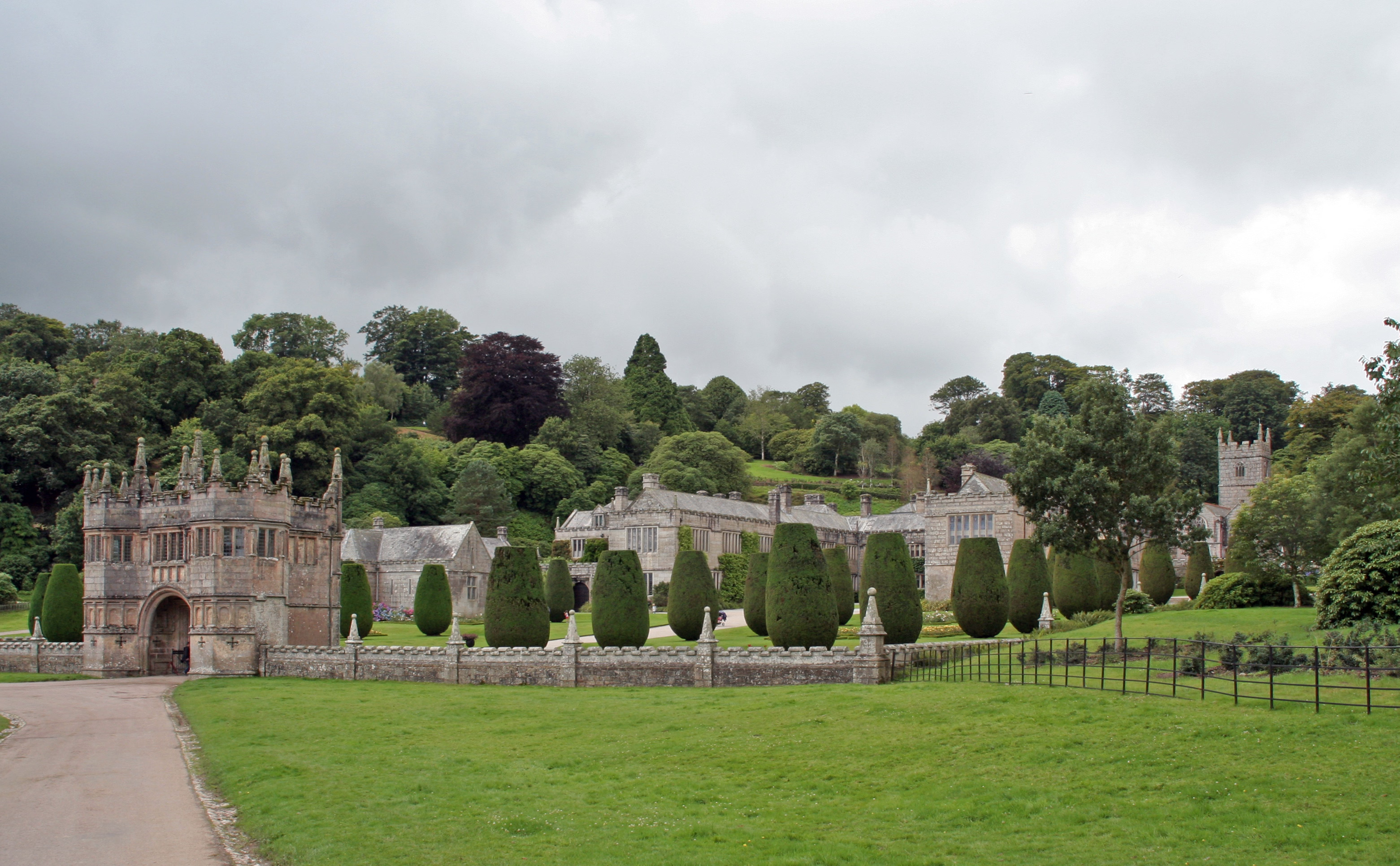
Lanhydrock House
Bodmin PL30 5AD, United Kingdom
Lanhydrock House, commonly known simply as Lanhydrock, is a country house and estate in the parish of Lanhydrock, Cornwall, England. The house stands in extensive grounds of 890 acres (360 ha) above the River Fowey, and has been owned and managed by the National Trust since 1953. The house dates from the 1620s, however most of the interiors were reconstructed after a fire in 1881; a new service wing was built at the same time. It is a Grade I listed building and is set in gardens with formal areas. The hill behind the house is planted with a fine selection of shrubs and trees. The parish church is dedicated to St Hydroc and stands in the grounds of Lanhydrock House. Parts date back to the late 15th century and the church has a chancel, nave, north and south aisles and three-stage battlemented tower with nine bells. Eight bells date from the late 19th century and are regularly rung. The ninth bell dates from circa 1599 and is only rung infrequently for tolling.
- Category
- Photo Spots
- Location
- Bodmin PL30 5AD, United Kingdom
- Address
- Lanhydrock, Bodmin PL30 5AD
- Coordinates
- 50.44096, -4.69781
- How to get there
- Google MapsApple MapsOpenStreetMap
- Wikidata
- Q1805491
What is Lanhydrock House?
Lanhydrock House is a Photo Spots place on VeroMaps, on Lanhydrock. Other places close by: Red Moor nature reserve, Restormel Castle, Fowey Consols mine, Pencarrow.
Where is Lanhydrock House?
Lanhydrock House is in Bodmin PL30 5AD, United Kingdom. Coordinates: 50.44096, -4.69781.
How do I get to Lanhydrock House?
Lanhydrock House is at Lanhydrock, Bodmin PL30 5AD, United Kingdom (50.44096, -4.69781). Enter these coordinates in Google Maps, Apple Maps or OpenStreetMap for walking, cycling or driving directions.