Forgotten History
Llandovery Castle
Llandovery, United Kingdom
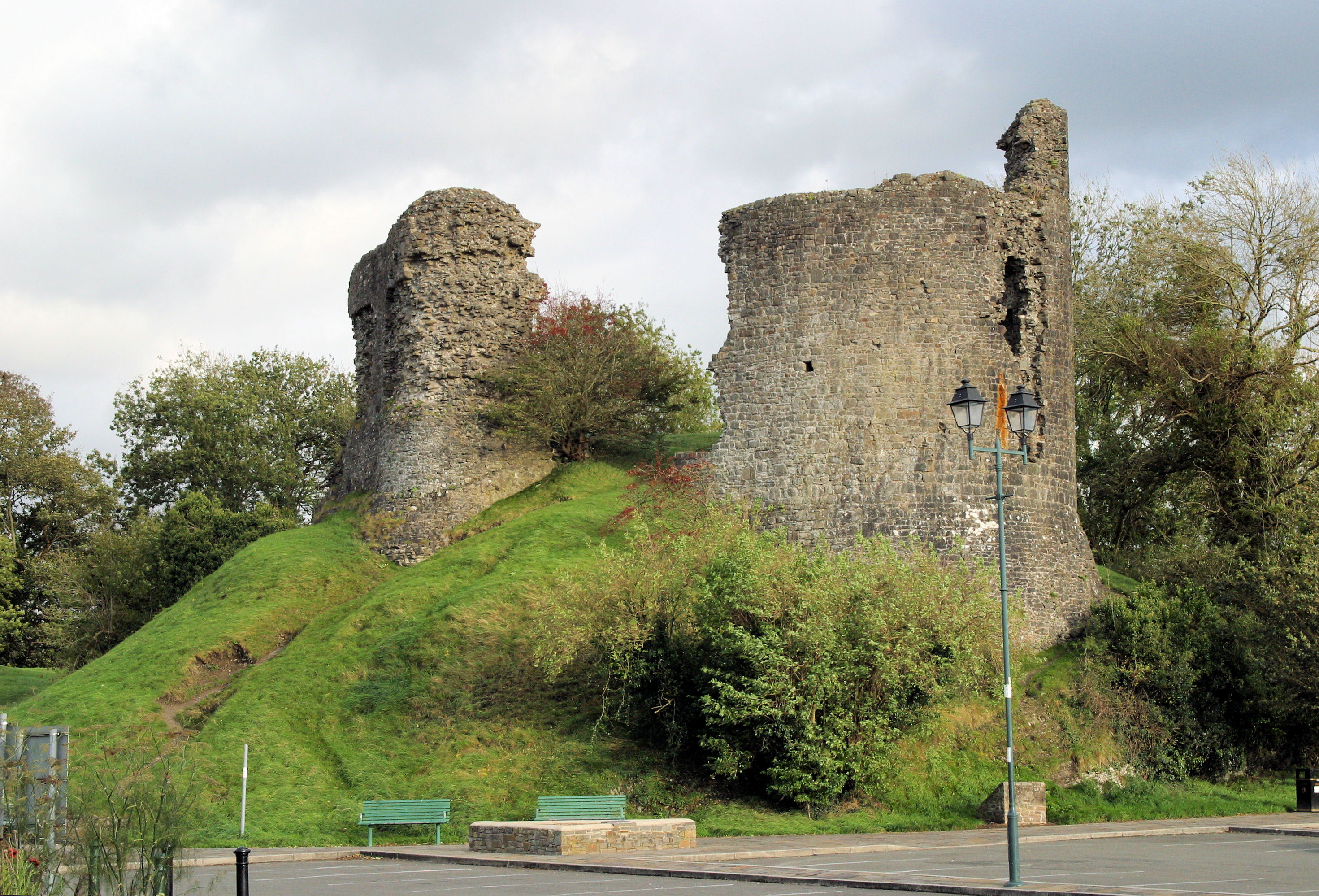
Llandovery Castle (Welsh: Castell Llanymddyfri) is a late thirteenth-century, Grade II*-listed, castle ruin in the town of Llandovery in Carmarthenshire, Wales. It occupies a knoll overlooking the River Towy and the land surrounding it. The Normans built a castle in the current location in the early twelfth century and this was rebuilt in stone. It was burnt in the early sixteenth century and never repaired.
- Category
- Forgotten History
- Location
- Llandovery, United Kingdom
- Coordinates
- 51.99266, -3.79621
- How to get there
- Google MapsApple MapsOpenStreetMap
- Wikidata
- Q1493071
What is Llandovery Castle?
Llandovery Castle is a Forgotten History place on VeroMaps. Other places close by: Dolaucothi Gold Mines, Carreg Cennen Castle, Dinefwr Castle, Maen Llia.
Where is Llandovery Castle?
Llandovery Castle is in Llandovery, United Kingdom. Coordinates: 51.99266, -3.79621.
How do I get to Llandovery Castle?
Llandovery Castle is at Llandovery, United Kingdom (51.99266, -3.79621). Enter these coordinates in Google Maps, Apple Maps or OpenStreetMap for walking, cycling or driving directions.