Urbex & Abandoned
Abernant Colliery
Neath Port Talbot, United Kingdom
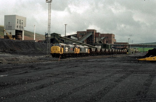
Abernant Colliery was a coal mine in the River Amman valley at Pwllfawatkin, 4 miles (6.4 km) north of Pontardawe and 13 miles (21 km) north of Swansea, West Wales.
- Category
- Urbex & Abandoned
- Location
- Neath Port Talbot, United Kingdom
- Coordinates
- 51.75917, -3.88278
- How to get there
- Google MapsApple MapsOpenStreetMap
- Wikidata
- Q4667136
What is Abernant Colliery?
Abernant Colliery is a Urbex & Abandoned place on VeroMaps. Other places close by: Carreg Cennen Castle, St Joseph's Cathedral, Palace Theatre, Swansea, Dinefwr Castle.
Where is Abernant Colliery?
Abernant Colliery is in Neath Port Talbot, United Kingdom. Coordinates: 51.75917, -3.88278.
How do I get to Abernant Colliery?
Abernant Colliery is at Neath Port Talbot, United Kingdom (51.75917, -3.88278). Enter these coordinates in Google Maps, Apple Maps or OpenStreetMap for walking, cycling or driving directions.