Urbex & Abandoned
Lilleborg
Akirkeby, Denmark
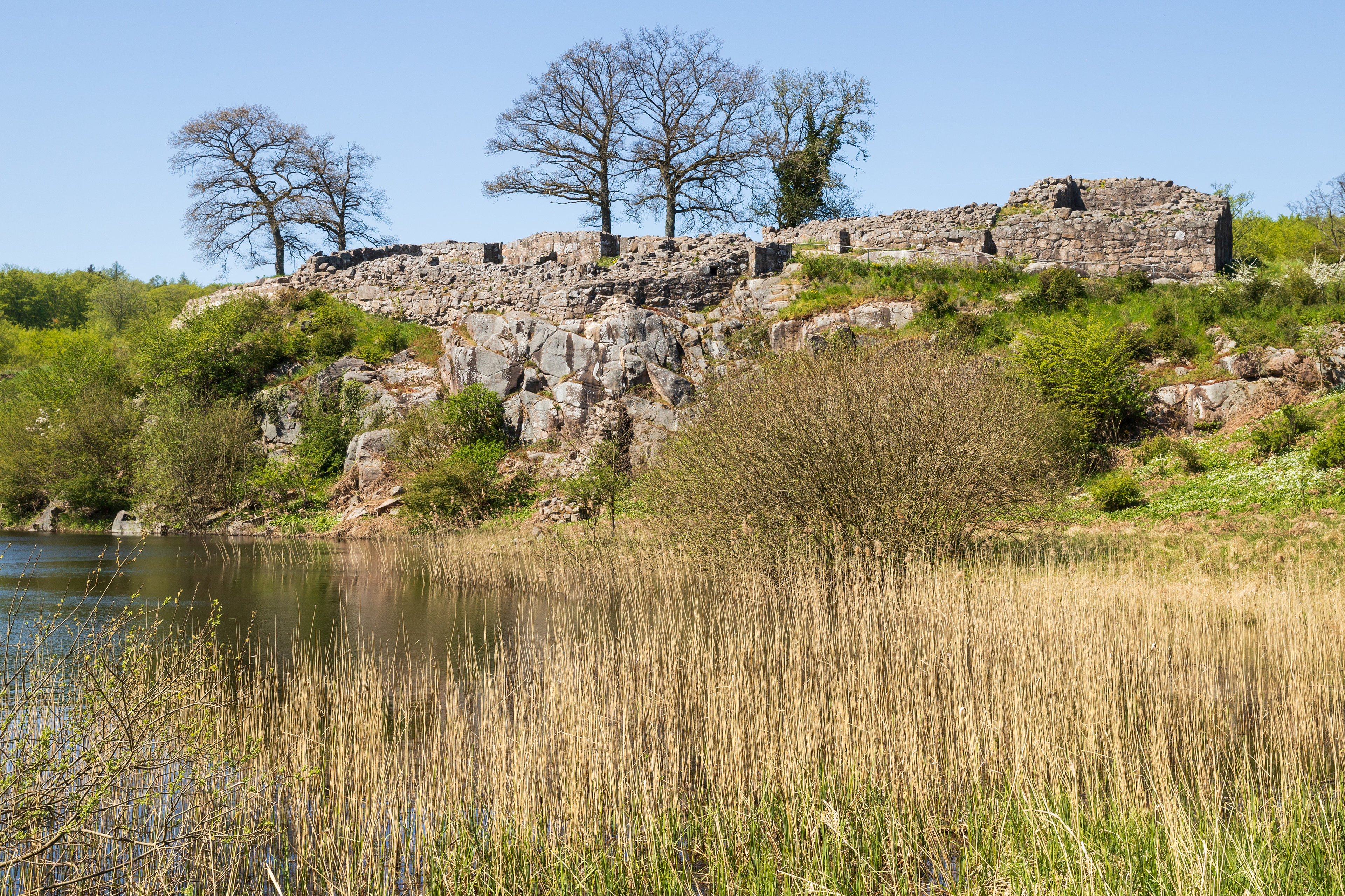
Lilleborg is a ruined castle in the Almindingen forest in the centre of the Danish island of Bornholm. It is situated close to the main road from Rønne to Svaneke. Of the Danish fortresses built in the 12th century, Lilleborg most closely resembles those of Saxon architectural style. In 2025, researchers from the National Museum of Denmark and Bornholms Museum concluded that some sort of fortification was already located on the site in the 4th century. Remains of the earlier Iron Age fortification were discovered in 2010.
- Category
- Urbex & Abandoned
- Location
- Akirkeby, Denmark
- Coordinates
- 55.11889, 14.89698
- How to get there
- Google MapsApple MapsOpenStreetMap
- Wikidata
- Q1426598
What is Lilleborg?
Lilleborg is a Urbex & Abandoned place on VeroMaps. Other places close by: Gamleborg, Fru Petersens Café, Hestestenene, Gryet.
Where is Lilleborg?
Lilleborg is in Akirkeby, Denmark. Coordinates: 55.11889, 14.89698.
How do I get to Lilleborg?
Lilleborg is at Akirkeby, Denmark (55.11889, 14.89698). Enter these coordinates in Google Maps, Apple Maps or OpenStreetMap for walking, cycling or driving directions.