Urbex & Abandoned
Gamleborg
Akirkeby, Denmark
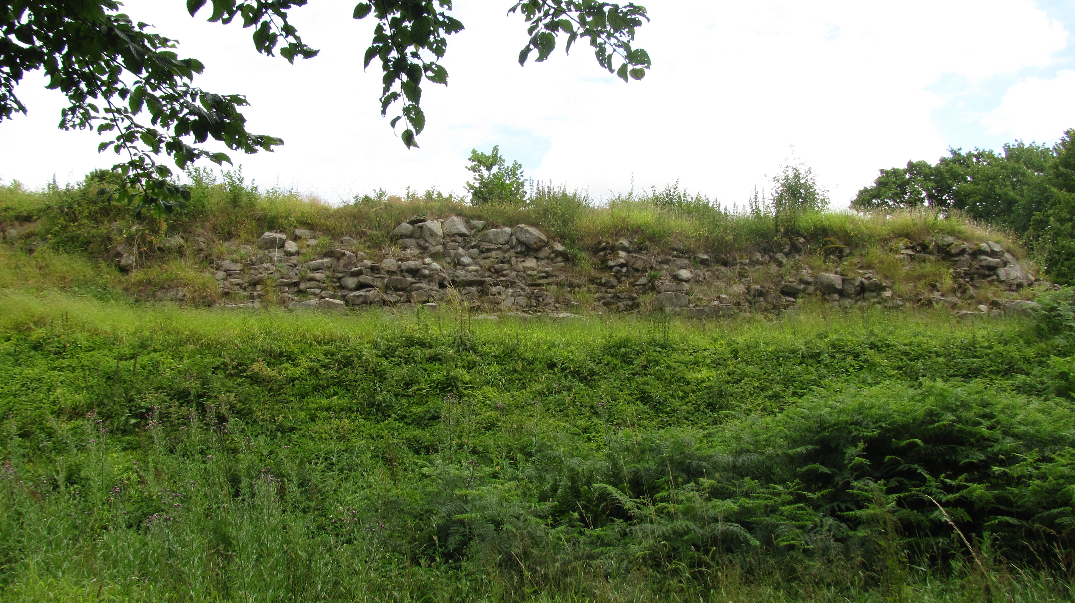
Gamleborg, also known as Gamleborg Viking Fortress, was the first fortification on the Danish island of Bornholm. Built around 750 AD, it was the seat of the kings of Bornholm during the Viking age (750–1050) and early Middle Ages (1050–1150). The massive fortress is 264 metres (866 ft) long from north to south and 110 metres (360 ft) wide from east to west, with gates to the north and southwest. Around 1100, significant alterations were made and it was reinforced, but it was abandoned soon afterwards in favour of the fortification of Lilleborg, roughly 700 metres (2,300 ft) to the northeast.
- Category
- Urbex & Abandoned
- Location
- Akirkeby, Denmark
- Coordinates
- 55.11370, 14.90707
- How to get there
- Google MapsApple MapsOpenStreetMap
- Wikidata
- Q5520241
What is Gamleborg?
Gamleborg is a Urbex & Abandoned place on VeroMaps. Other places close by: Lilleborg, Fru Petersens Café, Gryet, Hestestenene.
Where is Gamleborg?
Gamleborg is in Akirkeby, Denmark. Coordinates: 55.11370, 14.90707.
How do I get to Gamleborg?
Gamleborg is at Akirkeby, Denmark (55.11370, 14.90707). Enter these coordinates in Google Maps, Apple Maps or OpenStreetMap for walking, cycling or driving directions.