Urbex & Abandoned
Lecht Mine
United Kingdom
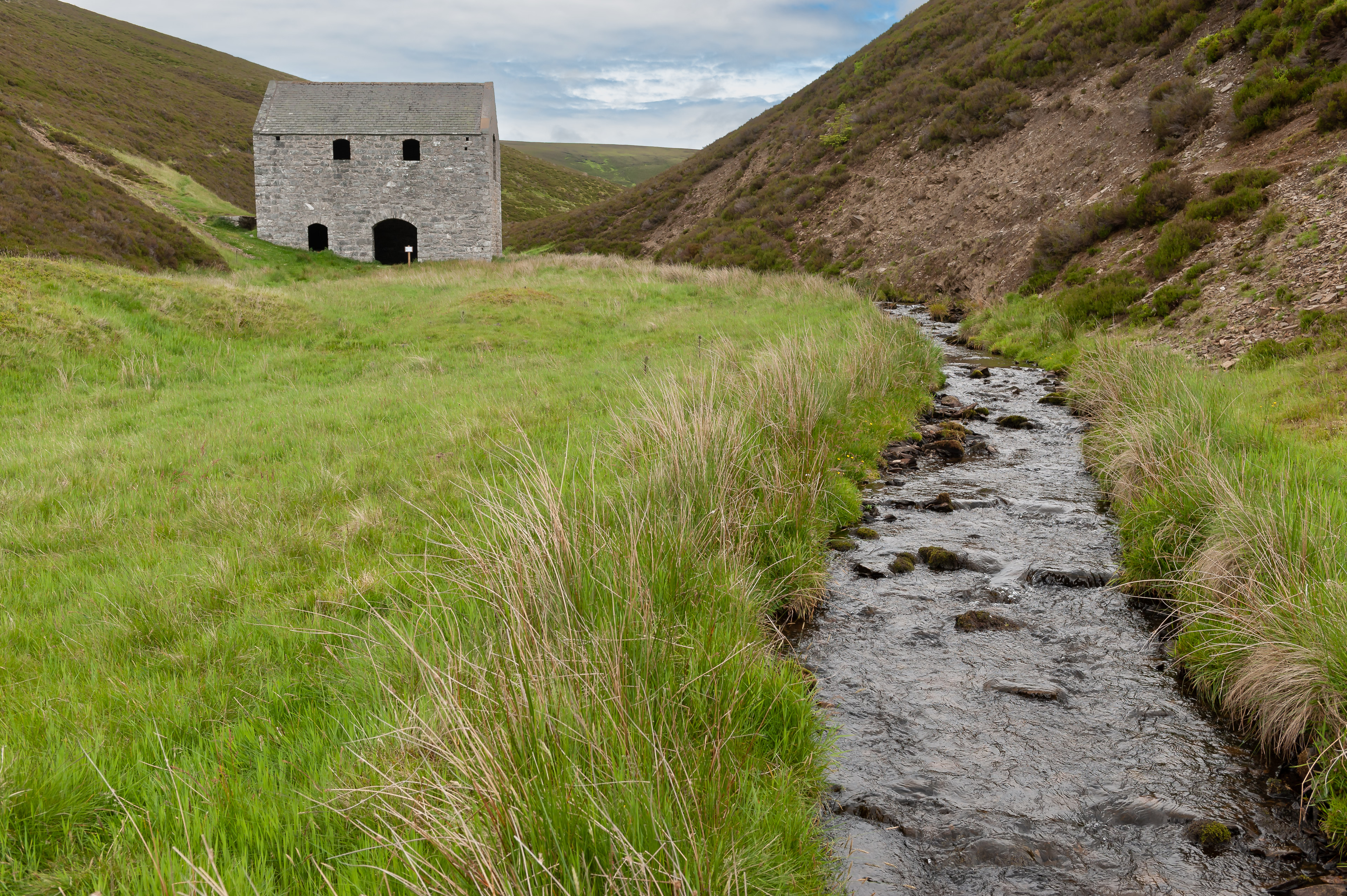
Lecht Mine is a former iron and manganese mining site located in the parish of Kirkmichael, Moray, Scotland. Today only the building of the crushing plant remains. It is a listed building number 74949.
- Category
- Urbex & Abandoned
- Location
- United Kingdom
- Coordinates
- 57.22745, -3.26538
- How to get there
- Google MapsApple MapsOpenStreetMap
- Wikidata
- Q42915646
What is Lecht Mine?
Lecht Mine is a Urbex & Abandoned place on VeroMaps. Other places close by: Corgarff Castle, Doune of Invernochty, Glenbuchat Castle, Kildrummy Castle.
Where is Lecht Mine?
Lecht Mine is in United Kingdom. Coordinates: 57.22745, -3.26538.
How do I get to Lecht Mine?
Lecht Mine is at United Kingdom (57.22745, -3.26538). Enter these coordinates in Google Maps, Apple Maps or OpenStreetMap for walking, cycling or driving directions.