Photo corners
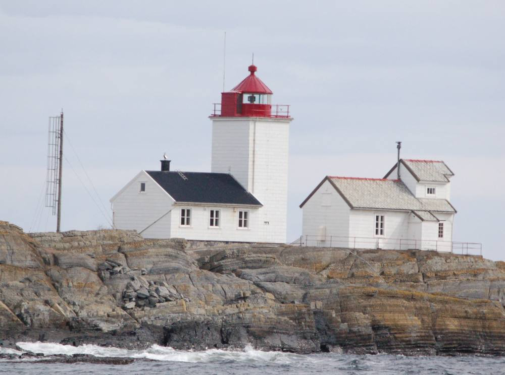
Langøytangen Lighthouse
Langesund, Norway
Langøytangen Lighthouse (Norwegian: Langøytangen fyr) is a fully automated coastal lighthouse situated on the island of Langøya just off shore of the town of Langesund in Bamble Municipality in Agder county, Norway. It marks the southern point of the Langesund Sound. It is available for rental for overnight guests. The light sits at an elevation of 17 metres (56 ft), emitting a white, red, or green light depending on direction. The light is occulting once every 6 seconds. The 12 metres (39 ft) tall square stone tower is attached to one end of a one-story keeper's house. The lighthouse is painted white and the lantern and gallery on top are painted red. A foghorn emits two blasts every 60 seconds.
- Category
- Photo Spots
- Location
- Langesund, Norway
- Coordinates
- 58.99076, 9.75818
- How to get there
- Google MapsApple MapsOpenStreetMap
- Wikidata
- Q487899
What is Langøytangen Lighthouse?
Langøytangen Lighthouse is a Photo Spots place on VeroMaps. Other places close by: Tvistein Lighthouse, Jomfruland Lighthouse, Stavernsodden Lighthouse, Svenner Lighthouse.
Where is Langøytangen Lighthouse?
Langøytangen Lighthouse is in Langesund, Norway. Coordinates: 58.99076, 9.75818.
How do I get to Langøytangen Lighthouse?
Langøytangen Lighthouse is at Langesund, Norway (58.99076, 9.75818). Enter these coordinates in Google Maps, Apple Maps or OpenStreetMap for walking, cycling or driving directions.