Restaurants
Kumagai-juku
Tokyo, Japan
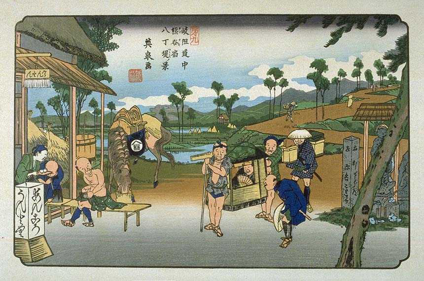
Kumagai-shuku (熊谷宿, Kumagai-shuku) was the eighth of the sixty-nine stations of the Nakasendō highway connecting Edo with Kyoto during the Edo period. It was located in the present-day city of Kumagaya, Saitama Prefecture, Japan.
- Category
- Restaurants
- Location
- Tokyo, Japan
- Coordinates
- 36.14503, 139.38284
- How to get there
- Google MapsApple MapsOpenStreetMap
- Wikidata
- Q3200350
What is Kumagai-juku?
Kumagai-juku is a Restaurants place on VeroMaps. Other places close by: Fukaya-shuku, Kōnosu-shuku, Honjō-shuku, Okegawa-juku.
Where is Kumagai-juku?
Kumagai-juku is in Tokyo, Japan. Coordinates: 36.14503, 139.38284.
How do I get to Kumagai-juku?
Kumagai-juku is at Tokyo, Japan (36.14503, 139.38284). Enter these coordinates in Google Maps, Apple Maps or OpenStreetMap for walking, cycling or driving directions.