Restaurants
Honjō-shuku
Tokyo, Japan
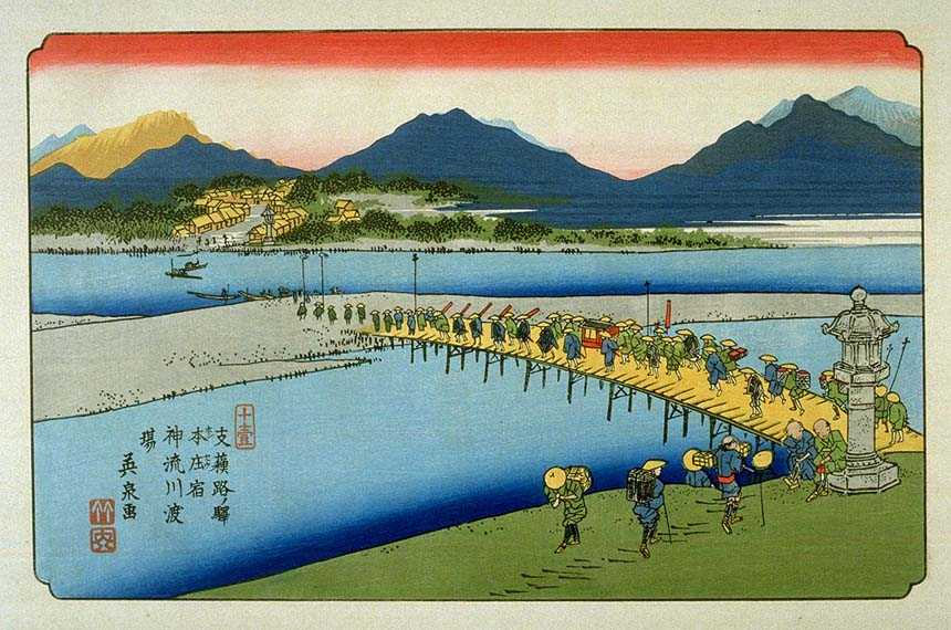
Honjō-shuku (本庄宿, Honjō-shuku) was the tenth of the sixty-nine stations of the Nakasendō highway connecting Edo with Kyoto during the Edo period. It was the largest of the stations in terms of population and number of buildings. It was located in the present-day city of Honjō, Saitama Prefecture, Japan.
- Category
- Restaurants
- Location
- Tokyo, Japan
- Coordinates
- 36.24040, 139.19150
- How to get there
- Google MapsApple MapsOpenStreetMap
- Wikidata
- Q3140135
What is Honjō-shuku?
Honjō-shuku is a Restaurants place on VeroMaps. Other places close by: Shinmachi-juku, Fukaya-shuku, Kuragano-juku, Takasaki-juku.
Where is Honjō-shuku?
Honjō-shuku is in Tokyo, Japan. Coordinates: 36.24040, 139.19150.
How do I get to Honjō-shuku?
Honjō-shuku is at Tokyo, Japan (36.24040, 139.19150). Enter these coordinates in Google Maps, Apple Maps or OpenStreetMap for walking, cycling or driving directions.