Photo corners
Kosterhavet National Park
Strömstad Municipality, Sweden
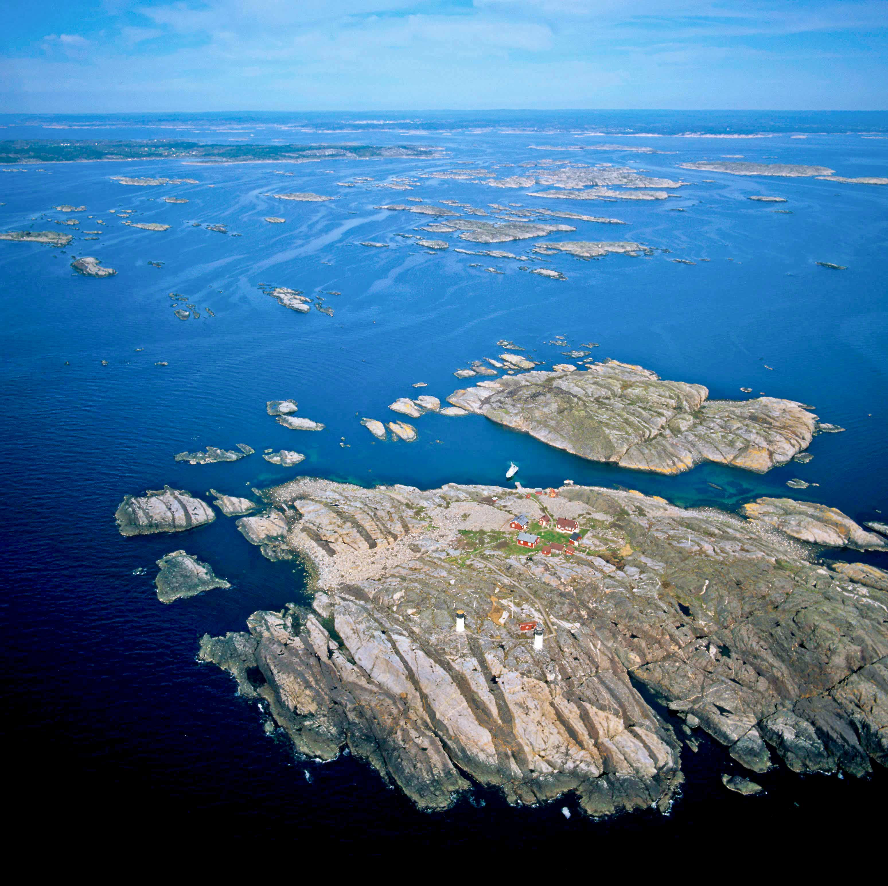
Kosterhavet National Park (Swedish: Kosterhavets nationalpark, literally The Koster Sea National Park) is the first national marine park in Sweden, inaugurated in September 2009. It is part of the Skagerrak sea and is located in Strömstad and Tanum municipalities in Bohuslän, Västra Götaland County, Sweden.
- Category
- Photo Spots
- Location
- Strömstad Municipality, Sweden
- Coordinates
- 58.82683, 11.00802
- How to get there
- Google MapsApple MapsOpenStreetMap
- Wikidata
- Q1438951
What is Kosterhavet National Park?
Kosterhavet National Park is a Photo Spots place on VeroMaps. Other places close by: Kosteröarna (naturreservat), Ganggrab Säm, Torbjørnskjær Lighthouse, Massleberg.
Where is Kosterhavet National Park?
Kosterhavet National Park is in Strömstad Municipality, Sweden. Coordinates: 58.82683, 11.00802.
How do I get to Kosterhavet National Park?
Kosterhavet National Park is at Strömstad Municipality, Sweden (58.82683, 11.00802). Enter these coordinates in Google Maps, Apple Maps or OpenStreetMap for walking, cycling or driving directions.