Photo corners
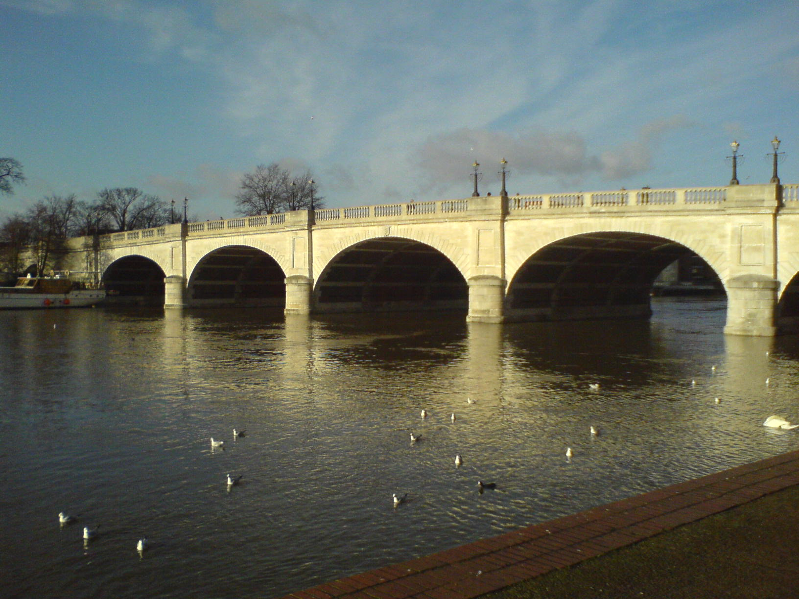
Kingston Bridge
Royal Borough of Kingston upon Thames, United Kingdom
Kingston Bridge is a road bridge at Kingston upon Thames in south west London, England, carrying the A308 across the River Thames. It joins the town centre of Kingston in the Royal Borough of Kingston upon Thames to Hampton Court Park, Bushy Park, and the village of Hampton Wick in the London Borough of Richmond upon Thames. In 2005 it was carrying approximately 50,000 vehicles per day with up to 2,000 vehicles per hour in each direction during peak times. For several centuries, Kingston bridge was the only crossing of the River Thames other than London Bridge within the modern Greater London boundary. Kingston Bridge is on the reach above Teddington Lock and close to and downstream of the mouth of the Hogsmill River, a minor tributary of the Thames. The Thames Path crosses the river here and the bridge is the end point for the Thames Down Link long-distance footpath from Box Hill & Westhumble station.
- Category
- Photo Spots
- Location
- Royal Borough of Kingston upon Thames, United Kingdom
- Coordinates
- 51.41110, -0.30850
- How to get there
- Google MapsApple MapsOpenStreetMap
- Wikidata
- Q1742157
What is Kingston Bridge?
Kingston Bridge is a Photo Spots place on VeroMaps. Other places close by: Druid's Head, Kingston Railway Bridge, Diana Fountain, Hampton Court Palace.
Where is Kingston Bridge?
Kingston Bridge is in Royal Borough of Kingston upon Thames, United Kingdom. Coordinates: 51.41110, -0.30850.
How do I get to Kingston Bridge?
Kingston Bridge is at Royal Borough of Kingston upon Thames, United Kingdom (51.41110, -0.30850). Enter these coordinates in Google Maps, Apple Maps or OpenStreetMap for walking, cycling or driving directions.