Photo corners
Hampton Court Bridge
Surrey, United Kingdom
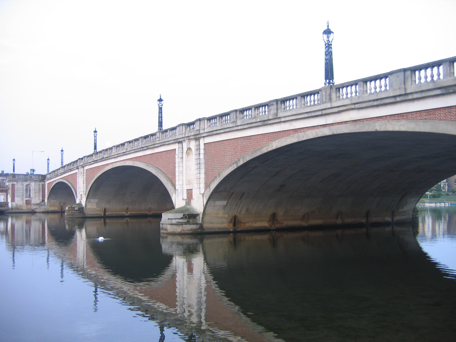
Hampton Court Bridge is a Grade II listed bridge that crosses the River Thames in England approximately north–south between Hampton, London and East Molesey, Surrey, carrying the A309. It is the upper of two road bridges on the reach above Teddington Lock and downstream of Molesey Lock. The bridge is the most upstream crossing of all of the Thames bridges of Greater London; uniquely one bank is within the county. The Thames Path crosses the river here.
- Category
- Photo Spots
- Location
- Surrey, United Kingdom
- Coordinates
- 51.40389, -0.34250
- How to get there
- Google MapsApple MapsOpenStreetMap
- Wikidata
- Q1529328
What is Hampton Court Bridge?
Hampton Court Bridge is a Photo Spots place on VeroMaps. Other places close by: Hampton Court Palace, Diana Fountain, Garrick's Villa, Bushy House.
Where is Hampton Court Bridge?
Hampton Court Bridge is in Surrey, United Kingdom. Coordinates: 51.40389, -0.34250.
How do I get to Hampton Court Bridge?
Hampton Court Bridge is at Surrey, United Kingdom (51.40389, -0.34250). Enter these coordinates in Google Maps, Apple Maps or OpenStreetMap for walking, cycling or driving directions.