Photo corners
Kingley Vale National Nature Reserve
West Sussex, United Kingdom
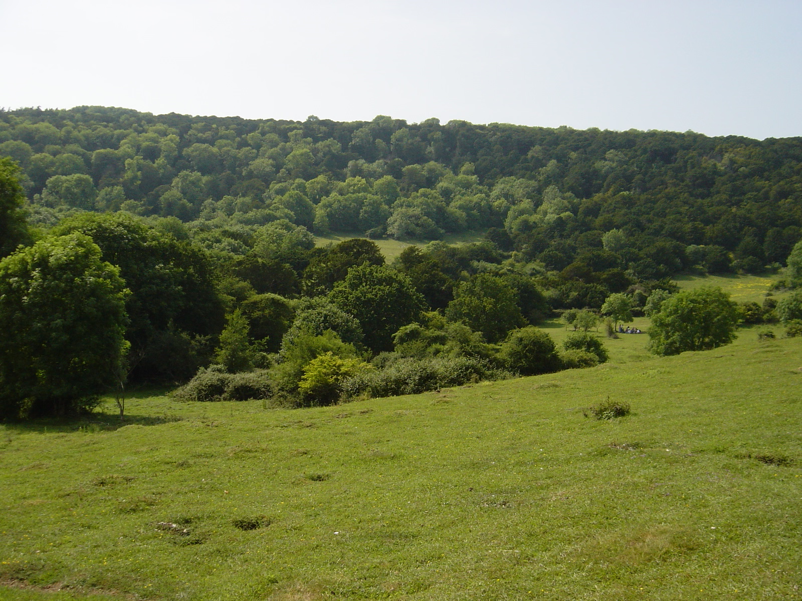
Kingley Vale National Nature Reserve is een 148 hectare groot natuurreservaat in het Engelse graafschap West Sussex, zo'n 7,5 kilometer ten noordwesten van Chichester. Het reservaat omvat een bos met zeldzame venijnbomen (taxus) tot wel 2000 jaar oud. Het bos ligt in het kleine dal Kingley Vale op de flank van een heuvelrug in het zuiden van de South Downs. Naast het beroemde taxusbos omvat Kingley Vale waardevol grasland op kalkbodem en verschillende archeologische sites: een Romeins-Keltische tempel bij Bow Hill, een nederzetting uit de ijzertijd, prehistorische vuursteenmijnen en de Devil's Humps, vorstengraven uit de bronstijd. Het reservaat wordt beheerd door Natural England en is behalve een nationaal natuurreservaat ook een Site of Special Scientific Interest, Special Area of Conservation en NCR-site. Kingley Vale is een wandelbestemming.
- Category
- Photo Spots
- Location
- West Sussex, United Kingdom
- Coordinates
- 50.88640, -0.83421
- How to get there
- Google MapsApple MapsOpenStreetMap
- Wikidata
- Q6412784
What is Kingley Vale National Nature Reserve?
Kingley Vale National Nature Reserve is a Photo Spots place on VeroMaps. Other places close by: Devil's Humps, Goodwood House, The Fox Goes Free, Harting Beacon: a hilltop enclosure, Anglo-Saxon burial mound and telegraph station on Beacon and Pen Hills.
Where is Kingley Vale National Nature Reserve?
Kingley Vale National Nature Reserve is in West Sussex, United Kingdom. Coordinates: 50.88640, -0.83421.
How do I get to Kingley Vale National Nature Reserve?
Kingley Vale National Nature Reserve is at West Sussex, United Kingdom (50.88640, -0.83421). Enter these coordinates in Google Maps, Apple Maps or OpenStreetMap for walking, cycling or driving directions.